What is recorded here
Three capstones still mark a narrow passage beneath the rath bank on Corrin mountain, running north-northwest toward the Finglas valley. The hole is small enough for one person to crawl through, yet wide enough for breath, shadow and memory to follow. It may have served the rath as a hiding place, a entrance or a chamber for what people did not wish seen.
Univallate rath KE036-043 with Man-made underground passage KE036-043001- is situated on the E slopes of Corrin mountain near the entrance to the valley of the Finglas river.
An oval, stone-lined hollow is located a little W of centre in the interior. It measures 2m x 3.5m c. 1m deep and is open to E. Three capstones of a Man-made underground passage are exposed 2m to NNW of the latter feature. The passage thus indicated is c. 0.75m wide and runs NNW-SSE for c. 3m. Three large boulders, visible on the outer face of the bank due S of the latter, may be related to a continuation of the Man-made underground passage.
The above description is derived from J. Cuppage, ‘Corca Dhuibhne. Dingle Peninsula archaeological survey. Ballyferriter. Oidhreacht Chorca Dhuibhne’ (1986), no. 358. In certain instances the entries have been revised and updated in the light of recent research.
Date of upload: 6 August 2013
The monument record does not grant public access. Check the route and ask the landowner before entering private land.
- What survives
- Recorded monument
Places near here
 Saint Mary's Catholic Churchchurch/chapel · 387 yd
 Site of Camp CastleCastle, unclassified · 393 yd
 Faisr's GraveArchaeological place · 436 yd
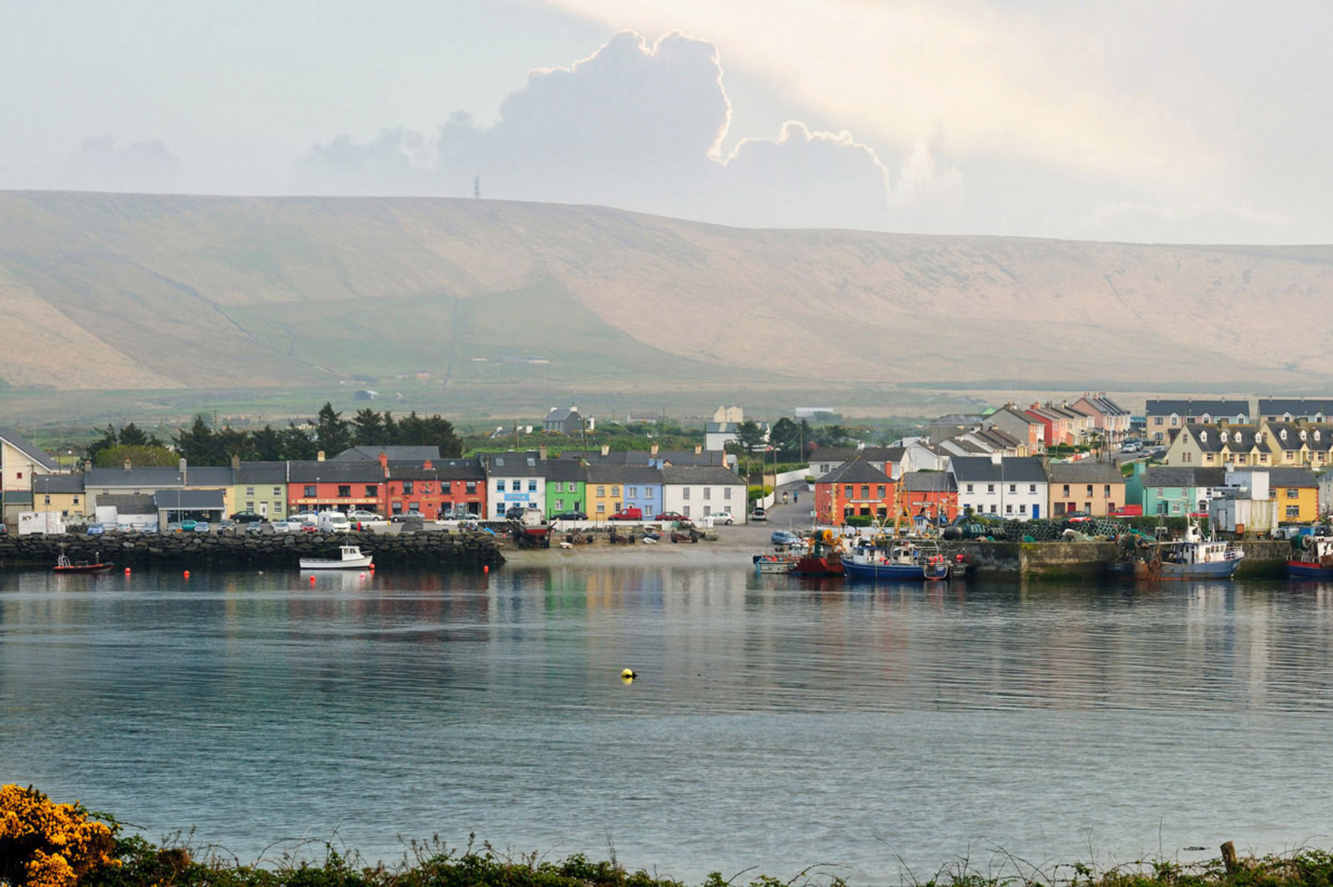 LisnaheirkaArchaeological place · 566 yd
 bridgebridge · 624 yd
 LisparkeenreillyArchaeological place · 775 yd
 CastleCastle, unclassified · 1174 yd
 Graveyard in Baile An Chnocáin (tc An Cnoc Glas)Graveyard · 1662 yd
 CorrinMountain / peak · 1.1 mi
 GearhaneMountain / peak · 2.4 mi
 Samphire Island LittleIslet · 3.9 mi
 Samphire IslandIslet · 4.2 mi
Other information
Photo: Credit not shown in the picture search · Rights wording not checked; contact us if this picture should be removed