What is recorded here
Fairy fort in Mountkelly, County Galway: a worn circular rath, fifty metres wide, on a sun-facing ridge. Its northern bank still stands while the rest has become a shallow scarp, and ordinary field banks cut through the southeast and southwest. People may have lived there before forgetting the shape, or the fairies may have taken back the room and left only a line in the grass.
On S-facing slope of a ridge in grassland. Poorly preserved subcircular rath (E-W 50m) defined by a bank and external fosse. The bank is present at N; elsewhere a scarp forms the enclosing element. A field bank cuts the monument at SE and SW. (Knight c. 1975, 112)
The above description is derived from the published 'Archaeological Inventory of County Galway Vol. II - North Galway'. Compiled by Olive Alcock, Kathy de hÓra and Paul Gosling (Dublin: Stationery Office, 1999).
Date of upload: 05 August 2010
The monument record does not grant public access. Check the route and ask the landowner before entering private land.
- What survives
- Recorded monument
Places near here
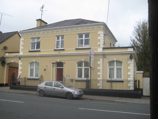 The Old Bankbank/financial institution · 659 yd
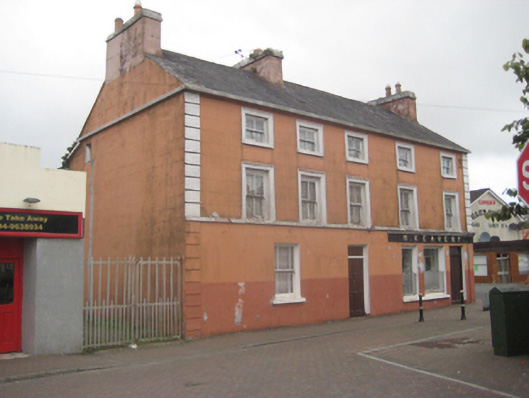 M. Keavenyhouse · 750 yd
 Priest WellHoly well · 1.2 mi
 Bawn in Kiltullagh (tiaquin By.)Bawn · 1.9 mi
 St. Bridgids WellHoly well · 2.0 mi
 CastleCastle, unclassified · 2.6 mi
 Rook HillMountain / peak · 3.9 mi
 Site of Killomaine Grave YardArchaeological place · 5.4 mi
 Mount MaryMountain / peak · 7.0 mi
 Ballinlass Eviction MemorialMemorial · 8.2 mi
 Cloonavihony WoodForest · 8.6 mi
 Wych ElmWych Elm · 8.8 mi