What is recorded here
The monument was inspected in 1982 and described as follows: ‘Situated on the shoulder of a hill. The ground falls off steeply to E. What appears to be an ancient field fence defined by a low earthen bank runs NE-SW. It joins the ringfort bank on N side. It extends down the hill to ENE for a considerable distance. The land is good and there are good views in all directions. This site is not indicated on any edition of the OS map nor does it appear to have been previously noted. The remains consist of a low circular shaped area (diam. 32m E-W), raised slightly above the surrounding field surface. There are traces of a slight bank around the edge of the platform and traces of a possible ditch on the W. These consist of a shallow depression. The interior is level and clear of vegetation’ (SMR File 1982).
Compiled by: Caimin O'Brien
Date of upload: 04 March 2014
The monument record does not grant public access. Check the route and ask the landowner before entering private land.
- What survives
- Recorded monument
Places near here
 Fooran WellHoly well · 106 yd
 Corpus Christi Catholic Churchchurch/chapel · 534 yd
 CastleCastle, unclassified · 559 yd
 Site of R.C. ChapelChurch · 838 yd
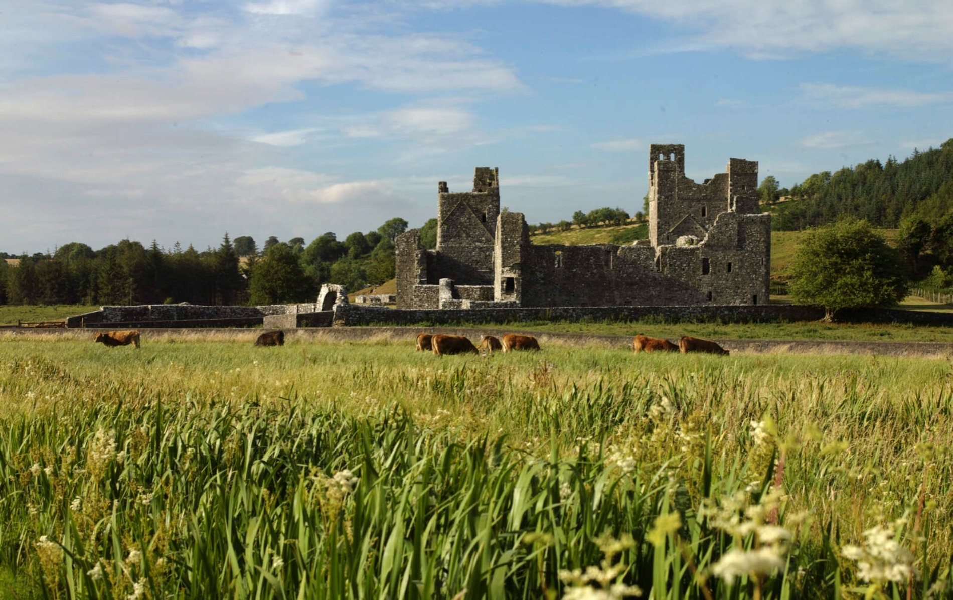 IndicatedCastle, motte and bailey · 951 yd
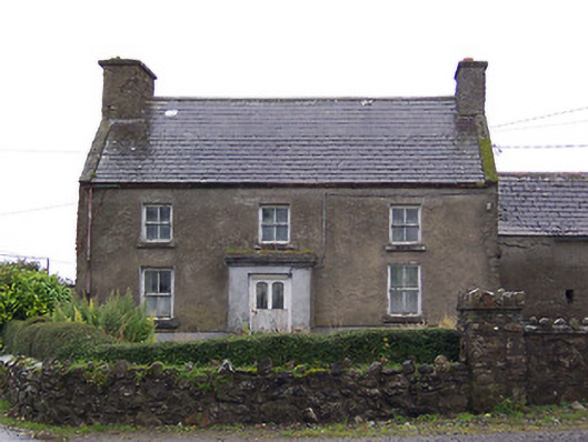 Nahod Beag Househouse · 1.1 mi
 Dún na Sí Heritage CentreMuseum · 2.7 mi
 Dún na SíMuseum · 2.7 mi
 Charles BianconiMemorial · 3.4 mi
 Moate HillMountain / peak · 3.6 mi
 Temple's IslandIslet · 5.0 mi