What is recorded here
Located towards the bottom of the N-facing slope of a NE-SW drumlin ridge. It is depicted as a circular enclosure with trees on the perimeter and a house just to the W on the 1834 edition of the OS 6-inch map where it is described in gothic lettering as a ‘fort’, and it is represented as a small hachured feature on the 1907 edition. This is a circular area (diam. 27.3m NW-SE: 27m NE-SW) planted in trees, which is defined by a slight earthen bank. The perimeter is skirted by a farm lane E-SW.
The above description is derived from the published 'Archaeological Inventory of County Monaghan' (Dublin: Stationery Office, 1986). In certain instances the entries have been revised and updated in the light of recent research.
Revised by: Michael Moore
Date of revision: 19 June 2018
The monument record does not grant public access. Check the route and ask the landowner before entering private land.
- What survives
- Recorded monument
Places near here
 Cormeen Cottagehouse · 436 yd
 IndicatedFairy fort / earthen ringfort · 766 yd
 Corfad Househouse · 891 yd
 Man-made underground passage in GortlannaMan-made underground passage · 1551 yd
 Fedd HillMountain / peak · 2.4 mi
 LisnaspeenanMountain / peak · 2.5 mi
 Dartrey ForestForest · 3.0 mi
 Ballybay Wetland CentreNature reserve · 3.4 mi
 Senator Billy Fox 1939 - 1974Memorial · 4.2 mi
 CastleCastle, unclassified · 4.7 mi
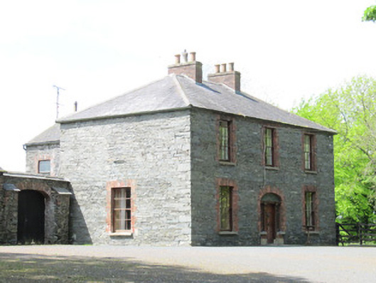 Mount Carmelhouse · 1042 yd
 Ballycoghill Bridgebridge · 1312 yd