What is recorded here
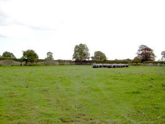
Fairy fort in Mornin, County Longford: an oval rath, 41m by 32m, with a low earth-and-stone bank on three sides and a steeper scarp elsewhere, set in wet pasture beside a second crescent-shaped mound. Fields and boundaries have cut through both, hiding their entrances and leaving only fragments of ditch. The name suggests people once saw more than farmhands and cattle there, perhaps small lights, sudden music, or a house that should not have existed. What is certain is shape and endurance: two raised places, made or shaped long before modern fields, still standing where the land is soft.
In wet, low-lying pasture. A raised oval platform (c. 41m N-S; c. 32m E-W) enclosed from N-E-S by a low bank of earth and stone (H 0.3m) and elsewhere defined by a scarp (H 0.7-1.4m). A report in 1976 (SMR file) recorded a wide, deep, external fosse, which is identifiable only at E (Wth 2.5m; D 0.3m). From E-SE-S the bank has been incorporated into a field boundary. The original entrance is not recognisable. Immediately to the E of the rath is a raised area (c. 48m N-S; c. 29m E-W), lunate in plan, defined by a scarp (H 1m) with an external fosse (Wth c. 2m; D 0.8m). Both have been modified and incorporated into a field boundary from ESE-SE-S. Its original entrance is not identifiable.
Compiled by: Patrick F. O'Donovan
Date of upload: 26 August 2011
The monument record does not grant public access. Check the route and ask the landowner before entering private land.
- What survives
- Recorded monument
Places near here
 Mornin Castle (in Ruins)Castle, tower house · 709 yd
 Park Placewalled garden · 921 yd
 IndicatedFairy fort / earthen ringfort · 1002 yd
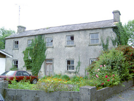 Keel Househouse · 1539 yd
 Kilbally Holy WellHoly well · 1.1 mi
 DoonphilipCastle, motte · 1.2 mi
 National Famine WayWalking route · 2.6 mi
 Newcastle WoodsForest · 3.9 mi
 Target WoodWood · 4.1 mi
 Corlea Bog Walk Canal BranchWalking route · 4.4 mi
 Craft WorkshopHeritage attraction · 4.7 mi
 Guest ServicesVisitor information · 4.7 mi