What is recorded here
Fairy fort / earthen ringfort in Monascallaghan: on a SW-facing hillside, a circular enclosure marked Fort on the 1837 OS 6-inch map, though no longer visible at ground level. Perhaps people lived there, loved there, argued and forgot; the earth may have taken the shape back. What remains is a name, a line on a map, and the feeling that the hillside keeps more than it shows.
On a SW-facing hillside. Depicted as a circular enclosure with the designation 'Fort' on the 1837 ed. of the OS 6-inch map. Not visible at ground level.
Compiled by: Patrick F. O'Donovan
Date of upload: 17 January 2012
The monument record does not grant public access. Check the route and ask the landowner before entering private land.
- What survives
- Recorded monument
Places near here
 Enclosure in AghinaspickEnclosure · 1206 yd
 Site of Kers GraveMegalithic tomb · 1520 yd
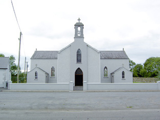 Saint Mary's Catholic Churchchurch/chapel · 1694 yd
 Chapel (in Ruins)Church · 1.3 mi
 Bawn in BallyknockBawn · 1.5 mi
 Bawn in CastlereaBawn · 1.7 mi
 National Famine WayWalking route · 1.8 mi
 Graveyard in Curry (ardagh By., Coolamber Ed)Graveyard · 2.4 mi
 First World War MemorialMemorial · 4.9 mi
 Saint Mel's CathedralCathedral · 5.0 mi
 White Sand WoodWood · 7.6 mi
 Commons North WalkVisitor information · 7.7 mi