What is recorded here
Fairy forts are human ringforts misnamed, often built or reused in medieval times and forgotten afterwards. In Monanimy Upper a thirty-metre circle stood on a ridge crest, with a ditch at its east edge and a low bank sweeping from southwest to northeast. People may have kept animals there, hidden during trouble, or simply lived beside the field until the earth took the shape back. The fairies enter only when people stop asking whether the circle was made by hands.
In SE corner of pasture land field, on crest of ridge. Depicted as hachured roughly circular raised area (diam. c. 30m) with fosse to E on 1842 OS 6-inch map. Levelled; arc (C 28m) formed by low rise (int. H 0.2m; ext. H 0.4m) survives SW->NE.
The above description is derived from the published 'Archaeological Inventory of County Cork. Volume 4: North Cork' (Dublin: Stationery Office, 2000). In certain instances the entries have been revised and updated in the light of recent research.
Date of upload/revision: 14 January 2009
The monument record does not grant public access. Check the route and ask the landowner before entering private land.
- What survives
- Recorded monument
Places near here
 Ballinardra Bridgebridge · 681 yd
 kilnkiln · 774 yd
 Church (Site of)Church · 1307 yd
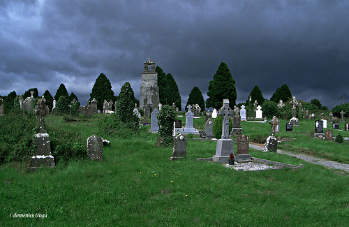 Grave YardGraveyard · 1324 yd
 Monanimy CastleCastle, tower house · 1369 yd
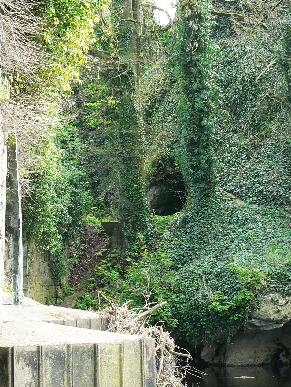 Killavullen CavesCave · 1.0 mi
 Cave in BallymacmoyCave · 1.0 mi
 CastleCastle, tower house · 1.1 mi
 Killavuleen LOOPVisitor information · 1.2 mi
 Anne's Grove GardensHeritage attraction · 3.0 mi
 Blackwater (Avondhu) WayWalking route · 3.4 mi
 Knocknaskagh North TopMountain / peak · 3.6 mi