What is recorded here
Fairy fort in Monalahy, County Cork: earthen ring, thirty-five metres across, mapped in 1842, its bank still standing from north-east to south-west. A bungalow has taken the north-west quarter, its garden laid over the ancient interior. The fort gave up part of itself to house a family, yet keeps its curve in pasture, waiting for someone to walk the remaining arc and remember what the land already knows.
In pasture, on W-facing slope. Depicted on 1842 OS 6-inch map as hachured circular enclosure (diam. c. 35m). Arc (C 33.5m) formed by earthen bank (H 1.1m) survives NNE->SSW. Interior forms garden of bungalow built in NW quadrant.
The above description is derived from the published 'Archaeological Inventory of County Cork. Volume 3: Mid Cork' (Dublin: Stationery Office, 1997). In certain instances the entries have been revised and updated in the light of recent research.
Date of upload/revision: 14 January 2009
The monument record does not grant public access. Check the route and ask the landowner before entering private land.
- What survives
- Recorded monument
Places near here
 Burial ground in Ballyfadeen MoreBurial ground · 468 yd
 farm housefarm house · 468 yd
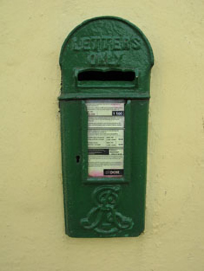 post boxpost box · 1438 yd
 Enclosure in Ballyvaloon (barretts By.)Enclosure · 1679 yd
 Castle (Site of)Castle, unclassified · 1.1 mi
 Pairc Ath Na hEornaMemorial · 1.7 mi
 Garrycloyne Castle (in Ruins)Castle, tower house · 2.2 mi
 Pakie HoganMemorial · 2.5 mi
 Lyradane MountainMountain / peak · 3.0 mi
 Rock HillMountain / peak · 3.4 mi
 BatsVisitor information · 3.7 mi
 Waterloo Loop WalkWalking route · 3.9 mi