What is recorded here
Monaferrick holds a forty-two metre ring of earth and shadow on a NW facing slope. The bank stands three metres high beside a six metre fosse, yet bushes and trees have swallowed the interior completely. A possible causeway marks the northern entrance, inviting people into darkness rather than revealing what they seek. The fort watches north, east and west while hiding its own heart from every camera and measurement.
Situated on NW facing slope of rising ground with good views to N, E and W, higher ground to S. Monument covered in bushes and trees making examination of interior monument impossible. A circular area (diam. c. 42m) defined by a bank (Wth c. 2.6m, int. H c. 2.65m, ext. H c. 3.3m) and external fosse (Wth c. 6.2m) from NE-NW. Possible entrance with causeway at N. Listed in the Register of Historic Monuments as a Ringfort on the 18 June 1986.
The above description is derived from the published 'Archaeological Inventory of County Laois' (Dublin Stationery Office, 1995) compiled by P. David Sweetman, Olive Alcock and Bernie Moran. In certain instances the entries have been revised and updated in the light of recent research.
Date of revised upload: 5 November 2015
The monument record does not grant public access. Check the route and ask the landowner before entering private land.
- What survives
- Recorded monument
Places near here
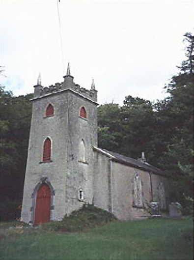 Saint Peter's Church (Curraclone)church/chapel · 352 yd
 Hachured, Dandys HillFairy fort / earthen ringfort · 630 yd
 Site of ChurchChurch · 733 yd
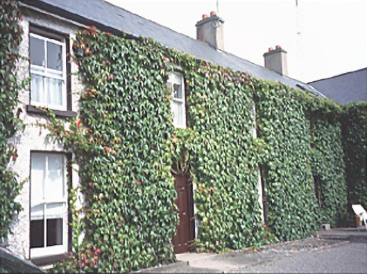 Inch Househouse · 771 yd
 Blackford Castle (in Ruins)Castle, tower house · 1673 yd
 Site of Ballymanus CastleCastle, unclassified · 1691 yd
 Black WalnutBlack Walnut · 1.0 mi
 Pedunculate OakPedunculate Oak · 1.5 mi
 Beech Way WalkWalking route · 1.9 mi
 Mass RockNamed rock · 2.0 mi
 CEMETERYGraveyard · 2.1 mi
 Cobbler's Castle WalkWalking route · 2.1 mi