What is recorded here
Fairy fort / earthen ringfort in Moig East stands in pasture atop a hill with panoramic views north over the Shannon estuary. A circular area about 55 metres wide is enclosed by two concentric earthen banks with a 2.1-metre fosse between them. The entrance appears at the south-west where a low causeway joins gaps in both banks, while a cattle break marks the inner bank at the east. Brambles cover the flat interior, and faint cultivation ridges remain in the south-east quadrant.
In pasture, atop hill with panoramic views, particularly to N over Shannon estuary. Circular area (diam. c. 55m) enclosed by two concentric earthen banks with intervening fosse (Wth 2.1m). Inner bank (int. H 0.75m; ext. H 2.35m) best preserved at WSW. Outer bank (int. H 1.05m; ext. H 1.1m) may be field boundary as it is similar in appearance (flat top and sheer sides) to field boundary which abuts it at NW. Entrance at SSW where low causeway joins gaps in inner (Wth 2.8m) and outer (Wth 2.3m) banks. Cattle break (Wth 2m) in inner bank at ESE. Fosse well preserved all around, though clogged with organic debris at SE. Flat interior is covered with brambles; low linear corrugations in SE quadrant are probably remains of cultivation ridges.
Compiled by: Denis Power
Date of upload: 26 August 2011
The monument record does not grant public access. Check the route and ask the landowner before entering private land.
- What survives
- Recorded monument
Places near here
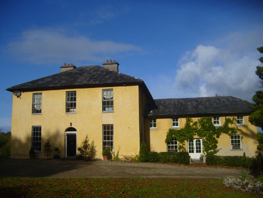 The Rectoryrectory/glebe/vicarage/curate's house · 346 yd
 Grave Yd.Graveyard · 356 yd
 schoolschool · 451 yd
 Bawn in Castletown (kenry By.)Bawn · 977 yd
 Carriganea CastleCastle · 1603 yd
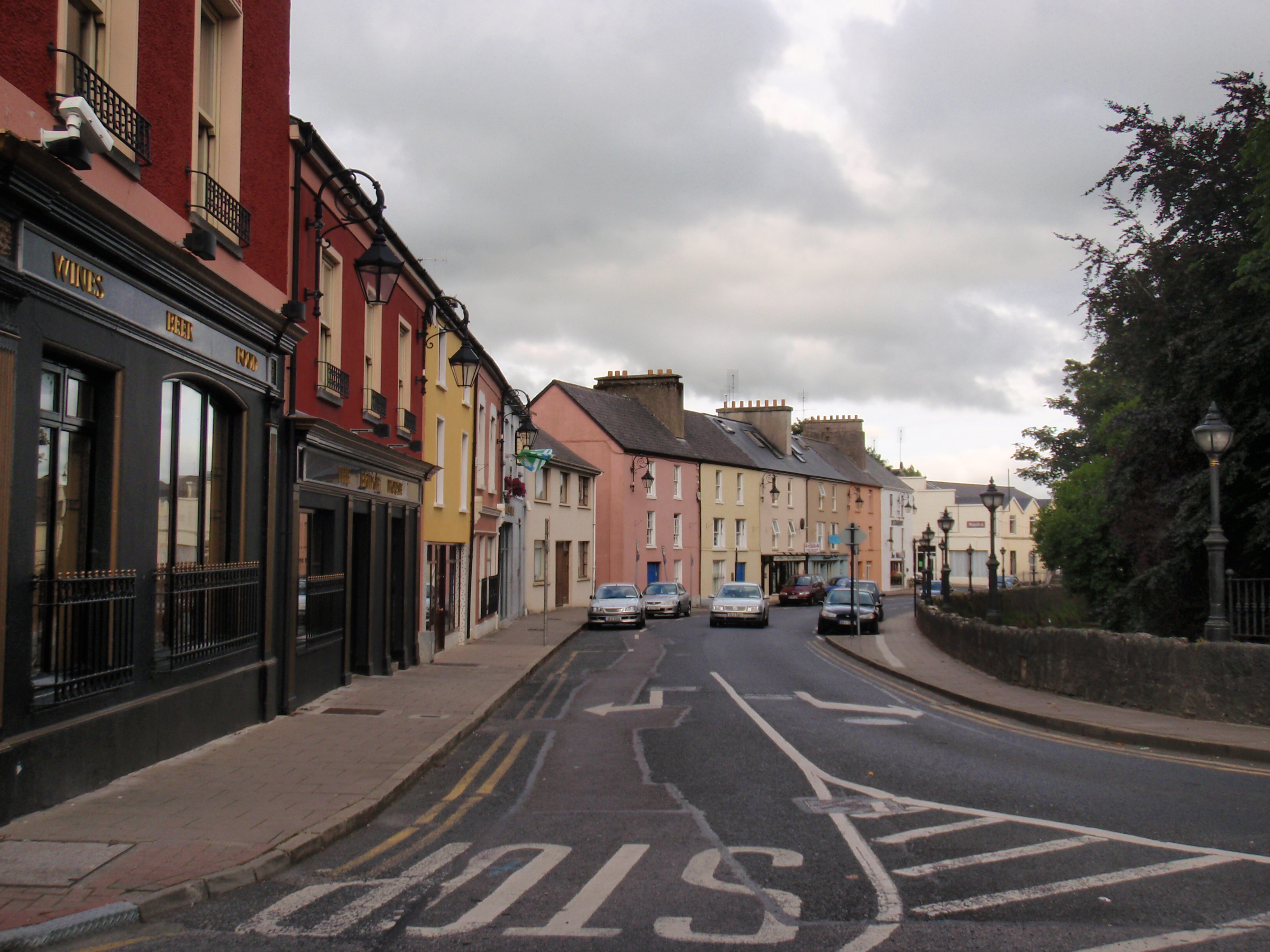 IndicatedFairy fort / earthen ringfort · 1691 yd
 Sweet ChestnutSweet Chestnut · 1.8 mi
 Ringmoylan PierVisitor information · 2.1 mi
 Stonehall Visitor FarmHeritage attraction · 2.5 mi
 Celtic Park and GardensHeritage attraction · 2.9 mi
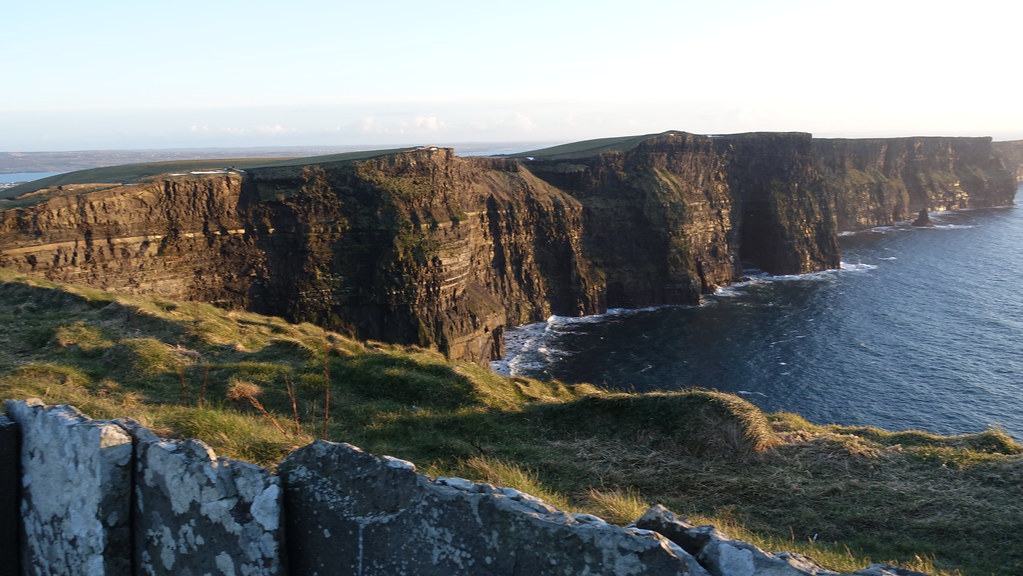 Conor's RockNamed rock · 3.0 mi
 Mellon PointHeadland · 3.2 mi