What is recorded here
Clear the soil and the fort returns: a circular enclosure with an inner bank, a ditch, a middle bank and an outer bank, entered at the south-west. The fairies keep the red road and the living people keep the field, but the earth remembers the shape of the house that once stood there.
Situated on a W-facing slope. This was described in 1969 as an overgrown circular area (diam. 47m N-S; 47m E-W) defined by an earthen bank (at W: Wth of base 3.5m; int. H 0.3m; ext. H 0.9m) on top of a natural scarp (at W: Wth 2.5m; H 1.6m) with a slight fosse (at W: Wth 3.5m; ext. D 0.4m) at its base separated by a berm (at W: Wth 2.5m) from an outer bank (at W: Wth of base 4.5m; int. H 0.4m; ext. H 1.4m). Outside this is another berm (at W: Wth 3m) and an outer field bank (at W: Wth 1.5m; H 0.2-0.3m). The inner berm and features outside it had been removed by a NW-SE road bank NNW-E. There is an entrance through the inner (Wth of base 2.5m), middle (Wth of base 2.8m) and outer (Wth of base c. 4.3m) at SSW. The growth in the interior had been removed by 1995 (OSAP).
The above description is derived from the published 'Archaeological Inventory of County Meath' (Dublin: Stationery Office, 1987). In certain instances the entries have been revised and updated in the light of recent research.
Compiled by: Michael Moore
Date of revision: 31 October 2018
The monument record does not grant public access. Check the route and ask the landowner before entering private land.
- What survives
- Recorded monument
Places near here
 EnclosureEnclosure, large enclosure · 240 yd
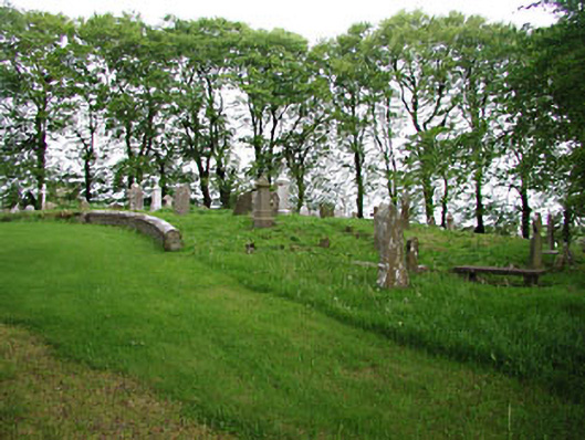 graveyard/cemeterygraveyard/cemetery · 530 yd
 European BeechEuropean Beech · 533 yd
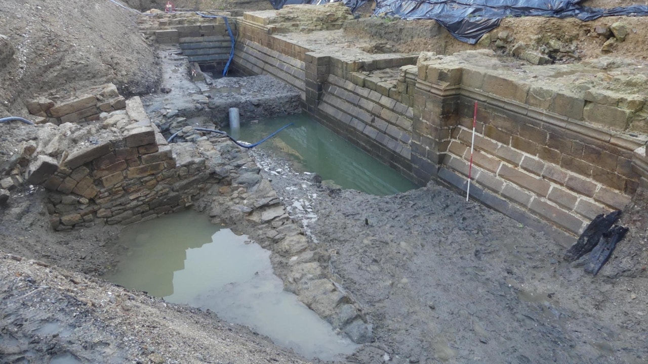 Enclosure in Moat (fore By.)Enclosure · 538 yd
 The MoatCastle, motte and bailey · 821 yd
 CastleCastle, unclassified · 1.1 mi
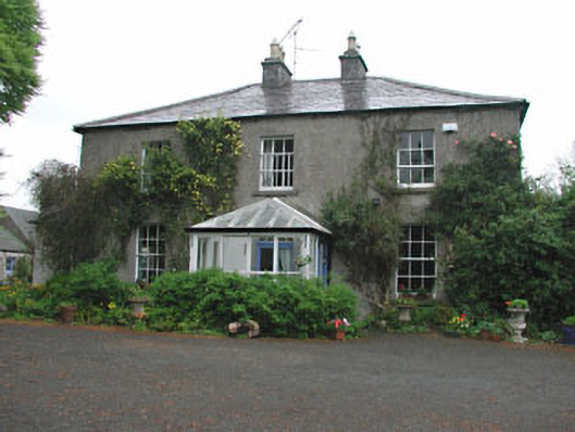 Killeagh Houserectory/glebe/vicarage/curate's house · 1.1 mi
 Mount FortuneMountain / peak · 1.9 mi
 Memorial CrossMemorial · 2.1 mi
 Mullaghmeen ForestPicnic place · 2.4 mi
 Fennor LowerMountain / peak · 3.0 mi
 Zip WireHeritage attraction · 3.2 mi