What is recorded here
Half the fairy fort is gone, swallowed by a watercourse wide enough to drown a man standing upright. What remains is a shallow earthen curve, no more than knee-high, with a narrow ditch outside and a two-metre gap at the east where someone once walked in. The west half has vanished into pasture and overgrowth, erased not by time alone but by the river’s patience. Maybe the water took it deliberately, as if the fort had agreed to disappear rather than be forgotten.
In level pasture. Site is depicted on 1924 OS 6-inch map as circular enclosure (diam. c. 35m) bisected by watercourse on N-S axis. Site now evident only on E side of deep watercourse (Wth c. 6m): semicircular area (14m E-W; 30m N-S) enclosed by earthen bank (int. H 0.4m; ext. H 0.5m) with external fosse (D 0.25m; Wth 1.2m). Gap in bank (Wth 2.8m) at E. North end of semicircular area under rough pasture, but S end largely obscured by overgrowth.
Compiled by: Denis Power
Date of upload: 26 August 2011
The monument record does not grant public access. Check the route and ask the landowner before entering private land.
- What survives
- Recorded monument
Places near here
 TobermurryHoly well · 1.1 mi
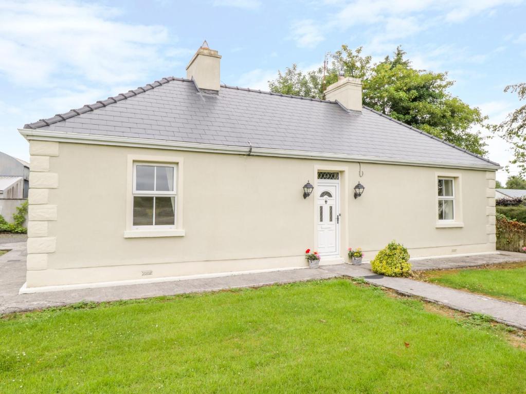 Enclosure in Ballintober EastEnclosure · 1.3 mi
 Moanleanna Househouse · 1.6 mi
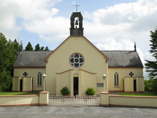 Saint Mary's Catholic Churchchurch/chapel · 1.6 mi
 Castle MahonCastle · 1.6 mi
 Mayne Ho.Castle, unclassified · 2.3 mi
 Garbally WellSpring · 3.0 mi
 Saint Ite's WellSpring · 3.2 mi
 Ballagh MountainMountain / peak · 4.1 mi
 National Co-op MuseumMuseum · 6.0 mi
 Mullaghareirk - Banane LoopWalking route · 6.6 mi
 Limerick GreenwayWalking route · 6.9 mi