What is recorded here
In level pasture on W side of stream. One of two adjacent wells (LI045-02902-) which are no longer apparent. According to Ó Danachair (1955, 211) 'only one, locally called "the blessed well", is known now. There are no devotions'.
From the National Monuments Service (Archaeological Survey of Ireland) record LI045-029002
The monument record does not grant public access. Check the route and ask the landowner before entering private land.
- What survives
- Recorded monument
Places near here
Photo credits
- National Inventory of Architectural Heritage
- Garry Dickinson, Geograph · CC BY-SA 2.0
- A.-K. D., Wikimedia Commons · CC BY-SA 4.0
- Mike Searle, Geograph · CC BY-SA 2.0
- Harold Strong, Geograph · CC BY-SA 2.0
- Created by Kglavin Modified Aug 2007 by Mike Christie, Wikimedia Commons · CC BY-SA 3.0
- Jonathan Thacker, Geograph · CC BY-SA 2.0
- Unknown author Unknown author, Wikimedia Commons · Public domain
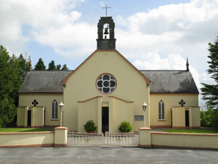 Saint Mary's Catholic ChurchChurch/chapel · 995 ydMound in AppletownMound · 1.1 mi
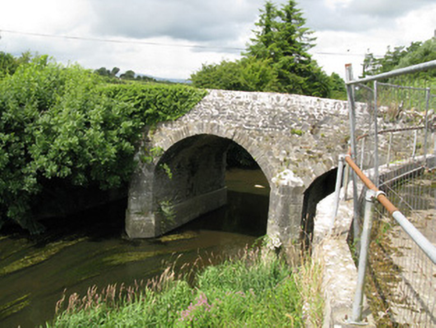 Broken BridgeBridge · 1.8 miToberhoranSpring · 2.4 mi
 Castle MahonCastle · 2.5 mi
 Saint Ite's WellSpring · 3.8 mi
 Glenduff CastleCastle, tower house · 3.9 miBallagh MountainMountain / peak · 4.5 mi
 National Co-op MuseumMuseum · 5.0 mi
 Ardagh FortArchaeological place · 7.8 mi
 Three CountiesPicnic place · 12 mi
 Battle of LiscarrollMajor battlefield · 12 mi
More archaeology and monuments in County Limerick · All of County Limerick
What do you know about this place?