What is recorded here
Fairy forts are not forts at all, but rings where humans and fairy women met. Moanleana keeps its ring marked by a shallow scarped edge and narrow outside ditch. The field has taken the fort back, yet the circle still holds its shape under grass and pasture. What happened inside the ring is no longer written anywhere. The land remembers the shape, not the event.
In level dry pasture. Monument, depicted as embanked circular enclosure (diam. c. 40m) on 1924 OS 6-inch map, has been levelled and incorporated into pasture field. However, still evident as circular area (diam. 38m) defined by wide gradual scarped edge (H 0.8m; Wth 8m) with external fosse (D 0.3m; Wth 3.2m).
Compiled by: Denis Power
Date of upload: 26 August 2011
The monument record does not grant public access. Check the route and ask the landowner before entering private land.
- What survives
- Recorded monument
Places near here
 Moanleanna Househouse · 506 yd
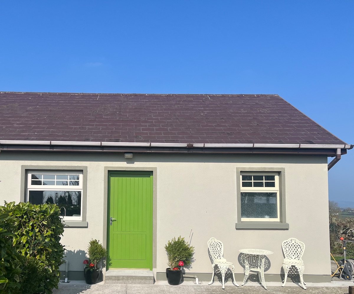 Enclosure in BallygeelEnclosure · 1558 yd
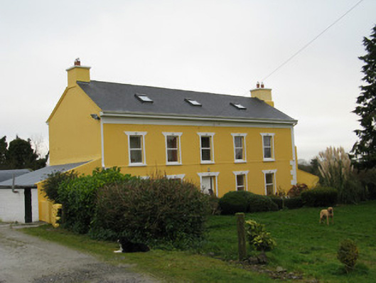 Camas Househouse · 1731 yd
 Castle MahonCastle · 1.6 mi
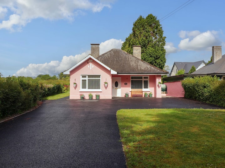 Mound in CamasMound · 1.7 mi
 Dotted outlineBawn · 2.7 mi
 Saint Ite's WellSpring · 2.7 mi
 Ballagh MountainMountain / peak · 3.8 mi
 Garbally WellSpring · 4.1 mi
 Limerick GreenwayWalking route · 5.5 mi
 Sugar HillMountain / peak · 6.0 mi
 Mullaghareirk - Banane LoopWalking route · 7.0 mi