What is recorded here
No visible entrance, only a smooth scarped edge rising from wet pasture. People may have entered through a gap now hidden by scrub, or perhaps the fort never needed a door at all.
In level pasture with reasonable views in all directions. The townland boundary with Gortyvahane lies 200m to W, enclosure (LI025-021----) 280m to W. Depicted as a circular-shaped earthwork (ext. dims. 32m N-S; 33m E-W) on the 1840 ed. OSi 6-inch map and on the 1897 ed. OSi 25-inch map. The monument is visible as a roughly circular-shaped area of scrub woodland on the OSi orthoimage taken 2005-12 and on the Digital Globe orthoimages taken 2011-2013. Inspected by ASI in 1999 and described as a circular raised area (int. diam. c. 30m) defined by a scarped edge surrounded by a possible external fosse. The interior was densely overgrown, wet and level. The circumference of the site as defined by the scarped edge has no apparent entrance. The sloping edges of the monument were 2.4m wide falling 1.1m from the internal ground level within the monument to the external field surface. The field boundary located on the S side of the site respects the curving edge of the enclosure in that location and is 2m wide, possibly reflecting the line of the external fosse. The enclosure is visible on the latest Google Earth orthoimage as scrub woodland within pasture taken 18/11/2018.
See attached sketch plan surveyed and drawn by the ASI and Google Earth orthoimage
Compiled by: Edmond O’Donovan
Date of upload: 21 September 2020
The monument record does not grant public access. Check the route and ask the landowner before entering private land.
- What survives
- Recorded monument
Places near here
 BarrowBarrow, ring-barrow · 475 yd
 Enclosure in KnockphelaghEnclosure · 1396 yd
 Longford Castle (in ruins)Castle, unclassified · 1434 yd
 IndicatedCastle, unclassified · 1.0 mi
 Oola HillMountain / peak · 1.2 mi
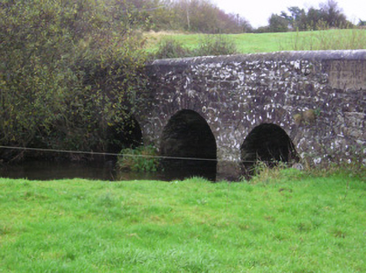 Longford Bridgebridge · 1.2 mi
 Oola National Schoolschool · 1.3 mi
 ToberagaddySpring · 4.0 mi
 St. Patrick's WellSpring · 6.9 mi
 Kilteely HillMountain / peak · 7.1 mi
 Flat cemetery in Knockainy WestFlat cemetery · 10 mi
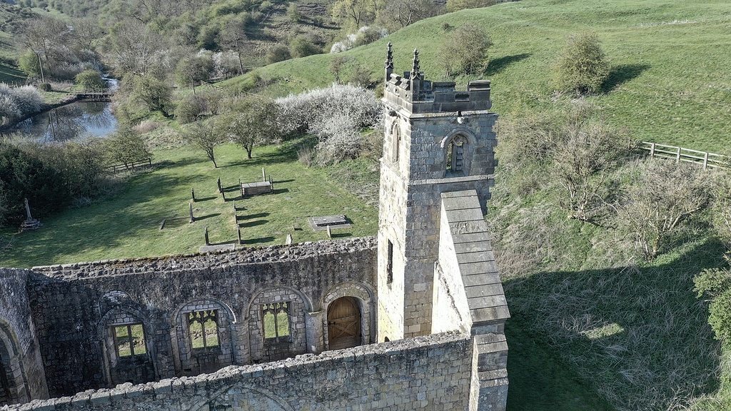 Settlement desertedSettlement deserted, medieval · 1750 yd