What is recorded here
Fairy fort in Mitchelstown is an oval ringfort, 34 metres north-south and 27.3 metres east-west, set at the west end of a low ridge above outcropping limestone. Its earth-and-stone bank still stands highest at the east, while a scarped edge rises 1.65 metres along the north and west, partly faced with stone. Cattle graze inside the shallow dip today, but the shape suggests people once valued the ridge, the view and the protection of its boundary.
In pasture, at W end of low ridge, in area of outcropping limestone. Oval area (34m N-S; 27.3m E-W) enclosed by earth-and-stone bank ENE->SSE and defined by scarped edge SSE->ENE. Bank (int. H 0.4m; ext. H 0.3m) best preserved at E. Scarp (H 1.65m; Wth 4m) best preserved NW->N; some vestiges of stone-facing survive on scarp face. Interior, under pasture, dips gently down towards centre. Field boundaries which abutted enclosure at NW and NNE have been removed.
Compiled by: Denis Power
Date of upload: 26 August 2011
The monument record does not grant public access. Check the route and ask the landowner before entering private land.
- What survives
- Recorded monument
Places near here
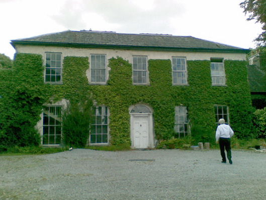 Ballysteen Housecountry house · 627 yd
 Court BrownArchaeological place · 1079 yd
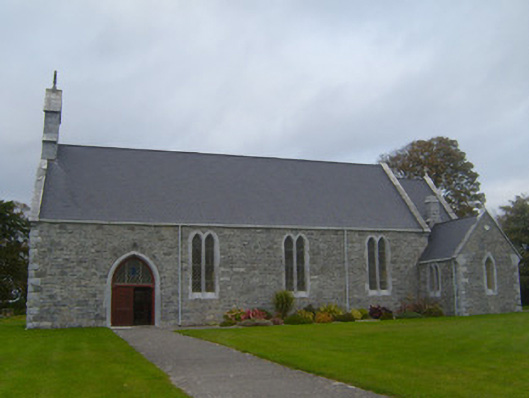 Saint Patrick's Catholic Churchchurch/chapel · 1.0 mi
 Ballynash CastleCastle, unclassified · 1.0 mi
 Courtbrown PointHeadland · 1.3 mi
 Greenish IslandIslet · 1.4 mi
 Sunday WellsHoly well · 1.7 mi
 Beagh Castle (in ruins)Castle, tower house · 1.9 mi
 Holly IslandIslet · 2.0 mi
 Askeaton CastleHeritage attraction · 2.5 mi
 Horse RockNamed rock · 2.6 mi
 Shannon Airport Aviation GalleryMuseum · 4.4 mi