What is recorded here
Marianne and I walked past the levelled fort on Sunday. I wanted to photograph the vanished ring, but she wanted to remember the woman who first saw it. We sat beside the tree stumps and kept the fort inside her story.
In pasture, atop natural knoll, which was once part of Carriganroche Wood, within demesne of Mitchelstown Castle. Depicted as hachured penannular arc formed by bank (diam. c. 30m) SW->SE on 1935 OS 6-inch map. Levelled; no visible surface trace; stumps of trees remain.
The above description is derived from the published 'Archaeological Inventory of County Cork. Volume 4: North Cork' (Dublin: Stationery Office, 2000). In certain instances the entries have been revised and updated in the light of recent research.
Date of upload/revision: 14 January 2009
The monument record does not grant public access. Check the route and ask the landowner before entering private land.
- What survives
- Recorded monument
Places near here
 Stone CircleHut site · 660 yd
 Carriganoura Castle (in Ruins)Castle, tower house · 989 yd
 Killdanave Grave Yard (Site of)Burial ground · 1042 yd
 Killee Bridgebridge · 1093 yd
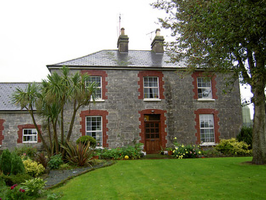 farmyard complexfarmyard complex · 1139 yd
 White Knights Tower (Site of)Castle, unclassified · 1.2 mi
 Mitchelstown Town MapVisitor information · 1.7 mi
 John MandevilleMemorial · 1.7 mi
 Statue of Saint FanahanMemorial · 1.7 mi
 Kilclooney WoodWood · 3.5 mi
 FlagCave · 3.6 mi
 CarrigeenamronetyMountain / peak · 5.8 mi