What is recorded here
Minkill holds a thirty-four metre earthen ring on the SW-facing slope of a drumlin ridge, preserving a broad bank and shallow fosse while two other raths watch from nearby rises. The earth has swallowed the entrance and a field bank now cuts the interior, yet the circle remains clear enough to suggest someone once drew a line around life itself. Maybe the fairies took the shape but left the memory behind, or maybe people simply stopped coming when the forest closed over the work. Either way, the ridge still carries the mark of a boundary made strong enough to resist forgetting.
Located on the SW-facing slope of a rise which is the summit at the NE end of a NE-SW drumlin ridge. This is an overgrown circular area (diam. c. 34m) defined by an earthen bank which is best preserved (Wth 4.1m; int. H. 0.55m; ext. H 0.55m generally to 1m at NW) W-NE but is reduced to a scarp overlain by an old field bank at SW. There is an external fosse (Wth 4m; ext. D 0.15m) W-N-S. The interior is bisected by an E-W field bank, but the original entrance is not identified. Raths (LE031-058----; LE031-059----) are c. 75m to the NNE and c. 110m to the NE respectively. It remains unplanted within a forest since at least 1995 (OSAP).
The above description is derived from 'The Archaeological Inventory of County Leitrim' compiled by Michael J. Moore (Dublin: Stationery Office, 2003). In certain instances the entries have been revised and updated in the light of recent research.
Compiled by: Michael Moore
Date of revised upload: 16 October 2019
The monument record does not grant public access. Check the route and ask the landowner before entering private land.
- What survives
- Recorded monument
Places near here
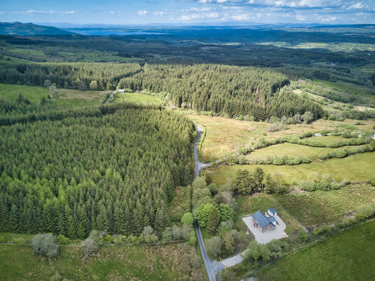 IndicatedFairy fort / earthen ringfort · 429 yd
 Enclosure in GarvloughEnclosure · 1217 yd
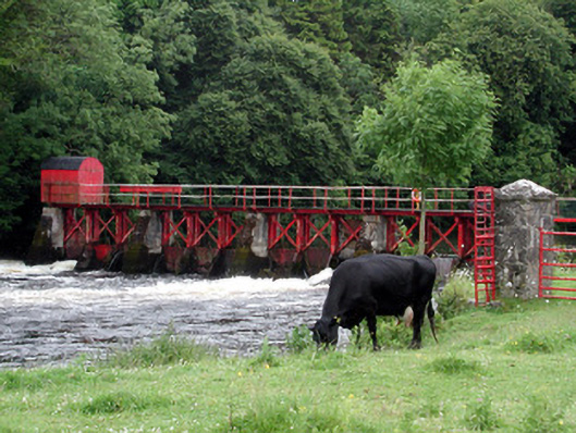 sluice/sluice gatesluice/sluice gate · 1499 yd
 R. C. ChapelChurch · 1546 yd
 Declaration of IndependenceMemorial · 1.4 mi
 Patrick Gill Memorial Plaque (IRA)Monument · 1.4 mi
 CastlecarraCastle, unclassified · 1.6 mi
 Wildlife AreaNature reserve · 1.7 mi
 Moon RiverHeritage attraction · 2.5 mi
 PortCastle, unclassified · 3.1 mi
 Leabaidh DermotCave · 3.9 mi
 Hughestown WoodForest · 5.1 mi