What is recorded here
Mellifontstown held a thirty-seven-metre earthen ring before machines erased it around 1963. People called it a fairy fort, perhaps because the unusual shape invited more imagination than ordinary sense. It may have been a farmhouse defensible at night, a boundary marker, or a gathering place where humans and story stopped being separate. The field is level now, but the name preserves the shape of what was lost.
In pasture. Raised circular area (38.3m N-S; 37m E-W) defined by low rise (ext. H 0.45m; int. H 1.43m) to W. Fosse (max. D 0.65m) visible SSW->NE. According to local information, levelled c. 1963.
The above description is derived from the published 'Archaeological Inventory of County Cork. Volume 2: East and South Cork' (Dublin: Stationery Office, 1994). In certain instances the entries have been revised and updated in the light of recent research.
Date of upload/revision: 14 January 2009
A fairy fort or earthen ringfort in Mellifontstown is a likely early-medieval defensive or domestic site, indicated by its raised circular area and fosse. Local tradition associates such mounds with fairy dwellings, and the site was reportedly levelled in the mid-20th century.
The monument record does not grant public access. Check the route and ask the landowner before entering private land.
- What survives
- Recorded monument
Places near here
 Grave Yard (Disused)Graveyard · 345 yd
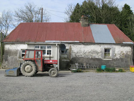 farm housefarm house · 726 yd
 Hetty VilleCountry house · 1311 yd
 Man-made underground passage in Coolvallanane BegMan-made underground passage · 1.0 mi
 Battlefield in Ardcloyne,ballinacurra,ballythomas East,ballythomas West,ballyvrin Lower,ballyvrin Upper,horsehill More (north),horsehill More (south)Battlefield · 1.2 mi
 The Stone of DestinyMemorial · 1.3 mi
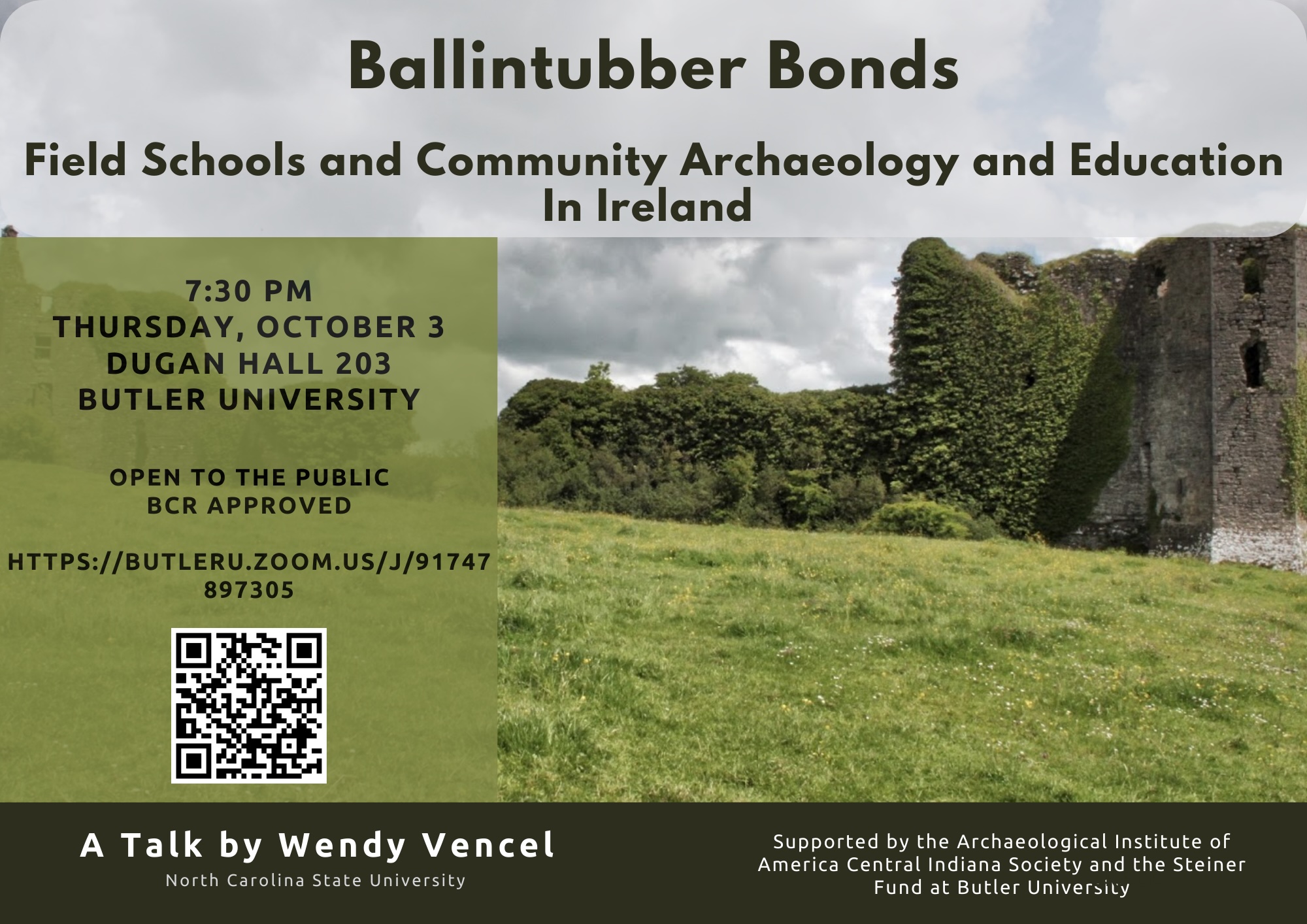 Ballintubber WoodWood · 1.3 mi
 Dooneen WoodsWood · 1.5 mi
 White Castle (in Ruins)House, fortified house · 1.7 mi
 Graveyard in Abbey-Lands, Part of (kinsale By., Ringcurran Par.)Graveyard · 2.2 mi
 GaolCastle, tower house · 2.3 mi
 Kinsale Ghost ToursHeritage attraction · 2.3 mi