What is recorded here
Fairy fort / earthen ringfort in Meadstown (kerrycurrihy By.) stands in tillage on a west-facing slope above the Owenboy river valley. Ploughs have bitten through its walls, leaving only a faint circular shadow and a shallow ditch mark. Yet the land still holds the shape of hands that built it, and the valley below still receives the breath of whoever lived there before memory failed.
In tillage, on W-facing slope overlooking Owenboy river valley to NW. Levelled; circular area (diam. 32.5m) defined by low rise (int. H 0.4m; max. ext. H 1.6m). Slight trace of fosse to E and W. Gallán (CO086-041---) c. 70m to S.
The above description is derived from the published 'Archaeological Inventory of County Cork. Volume 2: East and South Cork' (Dublin: Stationery Office, 1994). In certain instances the entries have been revised and updated in the light of recent research.
Date of upload/revision: 14 January 2009
The monument record does not grant public access. Check the route and ask the landowner before entering private land.
- What survives
- Recorded monument
Places near here
 Grave YardGraveyard · 166 yd
 Church of the Holy Mary Mother of Godchurch/chapel · 1193 yd
 Abbey (in Ruins)Church · 1215 yd
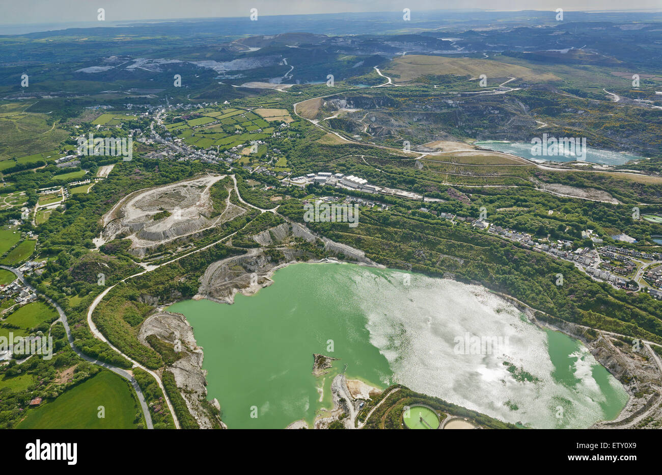 Clay Pits (Disused)Brickworks · 1237 yd
 Meadstown Castle (Site of)Castle, unclassified · 1616 yd
 Manx2 Flight 7100aviation accident · 1.9 mi
 Ballea CastleCastle, tower house · 2.3 mi
 St Laitiarain's WellSpring · 3.2 mi
 Graveyard in CurraghconwayGraveyard · 3.6 mi
 Pauper's GraveyardArchaeological place · 3.6 mi
 Ballybrack WoodsWood · 3.9 mi
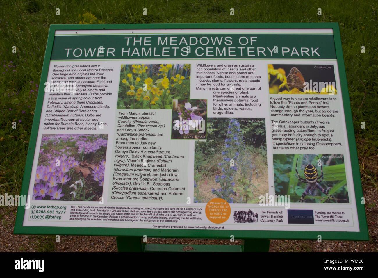 Wildlife and plant information boardsVisitor information · 4.2 mi