What is recorded here
Meadstown holds a true ringfort, not a fairy tale, though locals still call it a fairy fort. Its earthen bank circles forty metres of level pasture, breaking only where stones and bushes now block the way. Conifers rise inside the ancient boundary, marking a place where human hands shaped the land before memory faded.
In level pasture. Circular area (40.5m E-W; 39.5m N-S) enclosed by earthen bank (int. H 1.1m; ext. H 1.35m); external fosse (D 0.6m) N->NNE, E and S->WNW. Break in bank to SSE (Wth 4.8m) blocked by earth, stones and bushes; to W (Wth 2.2m) blocked by bushes. Interior planted with coniferous trees.
The above description is derived from the published 'Archaeological Inventory of County Cork. Volume 4: North Cork' (Dublin: Stationery Office, 2000). In certain instances the entries have been revised and updated in the light of recent research.
Date of upload/revision: 14 January 2009
The monument record does not grant public access. Check the route and ask the landowner before entering private land.
- What survives
- Recorded monument
Places near here
 Man-made underground passageMan-made underground passage · 865 yd
 gates/railings/wallsgates/railings/walls · 972 yd
 Mass-rock in FarahyMass-rock · 1158 yd
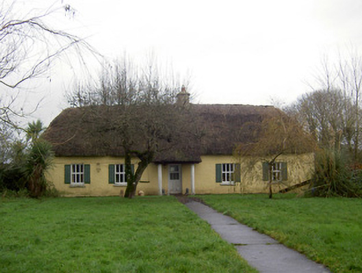 farm housefarm house · 1709 yd
 Ruane Castle (Site of)Castle, unclassified · 1.5 mi
 Flat cemetery in Ballyenahan NorthFlat cemetery · 1.5 mi
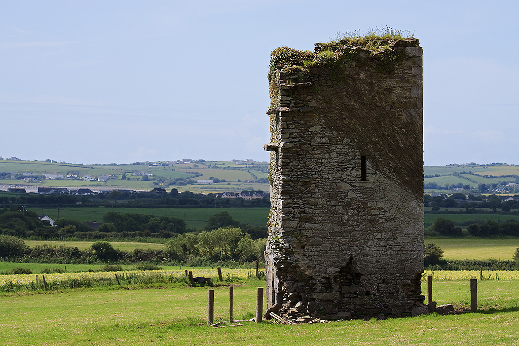 Farahy Castle (in Ruins)Castle, unclassified · 1.6 mi
 Horse Field WoodForest · 1.9 mi
 North Meadow WoodForest · 1.9 mi
 Anne's Grove GardensHeritage attraction · 2.3 mi
 Graveyard in BoherashGraveyard · 4.3 mi
 St Dominick's WellSpring · 4.4 mi