
What is recorded here
A set of five vernacular roadside field entrances, built c. 1890, composed of rectangular-plan rubble limestone piers with curved tops, and rebates to wrought-iron double-X-braced gates. Two pairs constructed opposite each other with coordinates [North] 569039,608021 and 569052,608020 and [West] 568931,607903 and 568929,607913. Single field entrance with coordinates 568928,607569. Stone slabs over narrow drain adjacent to some entrances. Wide grassy verge with drainage channels to each side of raised roadway.
An interesting solidly built set of five vernacular gateways which are unique to the area. They were built in a distinctive local style using local materials and knowledge. They play an important role in giving the area a distinctive identity and form a significant part of the vernacular heritage of the area.
This does not grant access. Most recorded buildings are privately owned; view them only from public ground unless the owner allows entry.
Places near here
 Man-made underground passageMan-made underground passage · 1149 yd
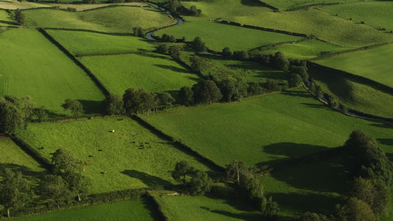 Field system in Carrigleagh (fermoy By., Wallstown Par.)Field system · 1216 yd
 Ruane Castle (Site of)Castle, unclassified · 1621 yd
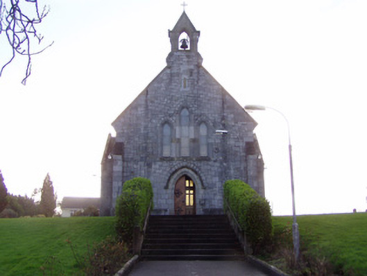 Church of Christ the Kingchurch/chapel · 1.0 mi
 IndicatedCastle, tower house · 1.1 mi
 Dannanstown Housemill manager's house · 1.2 mi
 Horse Field WoodForest · 1.7 mi
 North Meadow WoodForest · 1.8 mi
 Anne's Grove GardensHeritage attraction · 1.9 mi
 Flat cemetery in Ballyenahan NorthFlat cemetery · 2.1 mi
 Graveyard in BoherashGraveyard · 4.7 mi
 St Dominick's WellSpring · 4.8 mi
Other information
Photo: National Inventory of Architectural Heritage · Website use allowed for educational or private purposes with source credit