What is recorded here
Half a century of forgotten life still warms the shallow chamber where the fort stood. People may have tended goats, buried a child or watched storms pass above Dromore Hill. The fairies took the chamber when human memory thinned, and they keep it from wanting, not from malice.
Internal diam. 18.5m. A subcircular enclosure surrounded by an earthen bank with a fosse visible on the N and E sides. A possible entrance in the E section and a circular foundation internally adjacent to the bank at the N side, can be seen. The interior seems to be higher than the surrounding ground which is good land. Situated on top of Dromore Hill.
The above description was derived from the 'Archaeological Survey of County Donegal. A description of the field antiquities of the County from the Mesolithic Period to the 17th century.' Compiled by: Brian Lacey with Eamon Cody, Claire Cotter, Judy Cuppage, Noel Dunne, Vincent Hurley, Celie O'Rahilly, Paul Walsh and Seán Ó Nualláin (Lifford: Donegal County Council, 1983). In certain instances the entries have been revised and updated.
Date of upload: 22 September 2008
The monument record does not grant public access. Check the route and ask the landowner before entering private land.
- What survives
- Recorded monument
Places near here
 Fairy fort / stone ringfort in Machaire Dromann (tc Fánaid Thuaidh)Fairy fort / stone ringfort · 757 yd
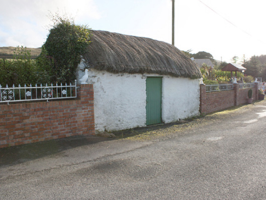 outbuildingoutbuilding · 1394 yd
 Tullanree Western Stone RingfortFairy fort / stone ringfort · 1513 yd
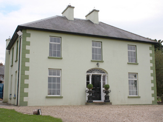 The Mansemanse · 1654 yd
 Carndonagh Early Church GraveyardGraveyard · 2.2 mi
 CroaghmoreMountain / peak · 4.2 mi
 CuldaffOfficial bathing water · 4.5 mi
 CastleCastle, unclassified · 4.9 mi
 CrockavishaneMountain / peak · 5.2 mi
 Dough Famine VillageHeritage attraction · 6.5 mi
 Doagh Famine VillageMuseum · 6.5 mi
 Castle CaryCastle, unclassified · 6.7 mi