What is recorded here
Fairy fort in Lurgan More, County Galway: a well-preserved subcircular rath, 54m N-S and 48m E-W, on a W-facing slope with bogland to the S. Its bank and external fosse are partly hidden by trees and overgrowth, yet a wide 12m causewayed gap at NE still marks the entrance. People may have lived here, herded animals past it, or simply avoided it after dark; the earth keeps its shape either way.
On a W-facing slope in grassland with bogland to the S. This well-preserved subcircular rath (54m N-S; 48m E-W) is defined by a bank and external fosse. The bank is overgrown with trees and is best preserved from S to SSW and from NW to NE (Wth 2.5m; int. H 1m; ext. H 1.8m). The fosse (Wth 3.5m) is obscured with overgrowth but is most clearly visible from SE to SW. There is a wide causewayed gap (Wth 12m) at NE. A N-S field boundary runs to the E of the site.
Compiled by: Galway Archaeological Survey, UCG
Date of upload: 9 February 2018
The monument record does not grant public access. Check the route and ask the landowner before entering private land.
- What survives
- Recorded monument
Places near here
 Enclosure in Lurgan MoreEnclosure · 1584 yd
 Hilltop enclosure in LisdelignyHilltop enclosure · 1.0 mi
 AbbeyReligious house, Augustinian canons · 1.2 mi
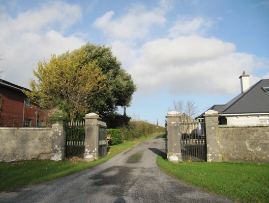 Rathmore Housegates/railings/walls · 1.6 mi
 CastleCastle, unclassified · 2.1 mi
 Knockaunnageeragh Castle in ruinsCastle, unclassified · 3.2 mi
 Quarryhill WoodWood · 4.5 mi
 Bog WoodForest · 4.9 mi
 The bloody HollowHeritage attraction · 6.7 mi
 Battle of AughrimMajor battlefield · 6.7 mi
 Battle of Aughrim Interpretative CentreMuseum · 7.2 mi
 Urraghry HillMountain / peak · 7.4 mi