What is recorded here
Fairy fort in Lurgan Beg, lurgan More, County Galway, Ireland. In undulating tillage overlooking marshland to the N and S. Marked on the OS 6-inch maps as a subcircular enclosure (c. 40m E-W; c. 35m N-S). On inspection in June 1984 apart from a distinctive change in soil colour which indicated the outline of the monument, no visible surface trace survived. According to local information, this ‘fort’ was levelled c. 1980. Its outline is clearly visible on OSi aerial imagery (Google maps). Compiled by: Galway Archaeological Survey, UCG Date of upload: 17 April 2019
In undulating tillage overlooking marshland to the N and S. Marked on the OS 6-inch maps as a subcircular enclosure (c. 40m E-W; c. 35m N-S). On inspection in June 1984 apart from a distinctive change in soil colour which indicated the outline of the monument, no visible surface trace survived. According to local information, this ‘fort’ was levelled c. 1980. Its outline is clearly visible on OSi aerial imagery (Google maps).
Compiled by: Galway Archaeological Survey, UCG
Date of upload: 17 April 2019
The monument record does not grant public access. Check the route and ask the landowner before entering private land.
- What survives
- Recorded monument
Places near here
 AbbeyReligious house, Augustinian canons · 1742 yd
 Fairy fort / earthen ringfort in CappanaghtanFairy fort / earthen ringfort · 1.1 mi
 Enclosure in Lurgan MoreEnclosure · 1.1 mi
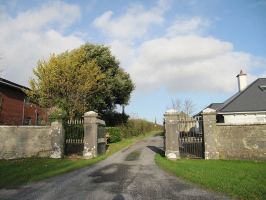 Rathmore Housegates/railings/walls · 1.7 mi
 CastleCastle, unclassified · 2.0 mi
 Knockaunnageeragh Castle in ruinsCastle, unclassified · 3.2 mi
 Quarryhill WoodWood · 4.6 mi
 Bog WoodForest · 5.0 mi
 The bloody HollowHeritage attraction · 6.6 mi
 Battle of AughrimMajor battlefield · 6.6 mi
 Battle of Aughrim Interpretative CentreMuseum · 7.1 mi
 Urraghry HillMountain / peak · 7.4 mi