
What is recorded here
In grassland adjacent to a farm house. Poorly preserved subcircular rath (53.5m N-S; 47m E-W) defined by a bank best preserved in the N sector. The E and S sectors have been incorporated into later field boundaries. A gap (Wth 3m) at W may be original. A NNE-SSW field wall cuts through the monument at WNW and WSW and the line of the bank in the W sector is visible c. 5m to its W. The interior is now used as a vegetable garden.
Compiled by: Galway Archaeological Survey, UCG
Date of upload: 19 January 2017
The monument record does not grant public access. Check the route and ask the landowner before entering private land.
- What survives
- Recorded monument
Places near here
 Enclosure in AbbeygormacanEnclosure · 785 yd
 AbbeyReligious house, Augustinian canons · 1020 yd
 Enclosure in Foxhall LittleEnclosure · 1720 yd
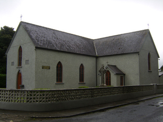 Saint Brendan's Catholic Churchchurch/chapel · 1.5 mi
 CastleCastle, unclassified · 1.9 mi
 Knockaunnageeragh Castle in ruinsCastle, unclassified · 3.4 mi
 Dartfield Horse MuseumHeritage attraction · 4.9 mi
 Quarryhill WoodWood · 5.2 mi
 European YewEuropean Yew · 5.5 mi
 Battle of AughrimMajor battlefield · 6.1 mi
 The bloody HollowHeritage attraction · 6.2 mi
 Battle of Aughrim Interpretative CentreMuseum · 6.6 mi
Other information
Photo: Credit not shown in the picture search · Rights wording not checked; contact us if this picture should be removed