
What is recorded here
In low-lying pastureland. Marked on the 1838 edition of the OS 6-inch map as a small trapezoidal-shaped enclosure (c. 31m N-S; c. 26m E-W); partially levelled on the 1933 edition of the map where only the SE corner is depicted. No visible surface trace survives.
Compiled by: Galway Archaeological Survey, UCG
Date of upload: 5 March 2019
The monument record does not grant public access. Check the route and ask the landowner before entering private land.
- What survives
- Recorded monument
Places near here
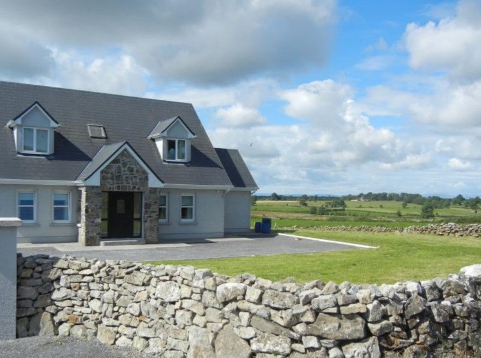 Enclosure in FoxhallEnclosure · 758 yd
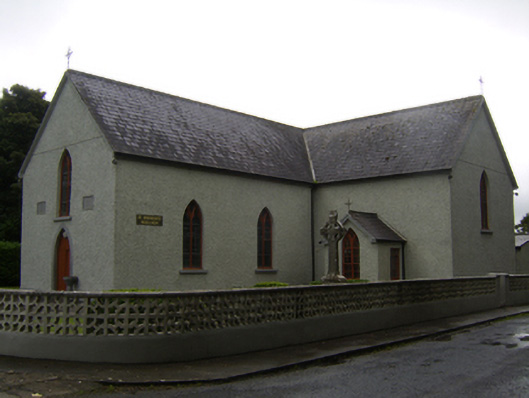 Saint Brendan's Catholic Churchchurch/chapel · 953 yd
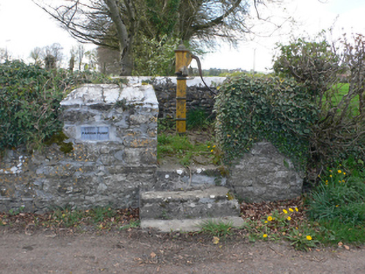 water pumpwater pump · 1005 yd
 Stone CrossCross · 1534 yd
 CastleCastle, unclassified · 1.9 mi
 Kilcooly Castle (in ruins)Castle, tower house · 3.4 mi
 Dartfield Horse MuseumHeritage attraction · 3.9 mi
 Quarryhill WoodWood · 5.5 mi
 Bog WoodForest · 6.0 mi
 Battle of AughrimMajor battlefield · 6.3 mi
 The bloody HollowHeritage attraction · 6.3 mi
 Battle of Aughrim Interpretative CentreMuseum · 6.6 mi
Other information
Photo: Credit not shown in the picture search · Rights wording not checked; contact us if this picture should be removed