What is recorded here
On a low hill with commanding views of the surrounding countryside. Circular area (diam. 49m E-W) defined by a high earth and stone bank with wide deep outer fosse, and external bank and traces of a second shallow fosse. Possible original entrance gap that has been modified at E.
Compiled by: Caimin O'Brien
Date of upload: 01 August 2013
A local fairy fort (ringfort/rath); wider significance not recorded.
The monument record does not grant public access. Check the route and ask the landowner before entering private land.
- What survives
- Recorded monument
Places near here
 Lowertown Bridgebridge · 765 yd
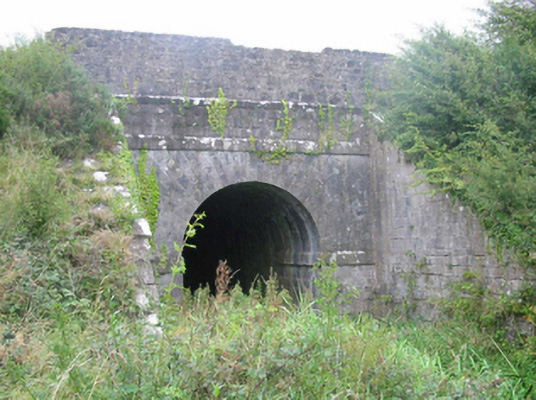 aqueductaqueduct · 1293 yd
 BarrowBarrow, ring-barrow · 1466 yd
 Hut site in BalleekHut site · 1.3 mi
 Rahugh MoatCastle, motte and bailey · 1.3 mi
 Bonfire HillMountain / peak · 1.3 mi
 Bracklin WoodWood · 1.3 mi
 Bawn in Bracklin BigBawn · 1.6 mi
 Ardan WoodWood · 1.8 mi
 Durrow HillMountain / peak · 1.8 mi
 St. Columba's WellSpring · 2.6 mi
 Grand Canal WayWalking route · 3.9 mi