What is recorded here
Fairy forts are human ringforts misnamed, often through laziness or fear of admitting ordinary people lived boldly somewhere visible. Lowerton Beg is no exception: a double-banked circular fort, about fifty-five metres across, set on the south-facing slope below the hilltop, with a causewayed gap at the east and an interior that slopes like a small theatre. Whatever it guarded or held, it did so openly, shaped for people rather than hiding from them.
Situated on S facing slope of a hill just below the summit. Circular area (diam c. 55m ) enclosed by two banks with intervening fosse and external fosse. Inner bank (Wth 1m; int. H 2m; ext. H 4m), fosse (Wth 2.5m, int. D 4m), outer bank (Wth 2m, ext. H 3m , int. H 4m) and outer fosse (Wth 3m). Causewayed entrance gap (Wth 3m) at E. The inner bank gently slopes into the interior giving the interior an amphitheatre effect. The interior of the site slopes from N to S.
The above description is derived from the published 'Archaeological Inventory of County Offaly' (Dublin: Stationery Office, 1997). In certain instances the entries have been revised and updated in the light of recent research.
Date of upload: 23 May 2011
The monument record does not grant public access. Check the route and ask the landowner before entering private land.
- What survives
- Recorded monument
Places near here
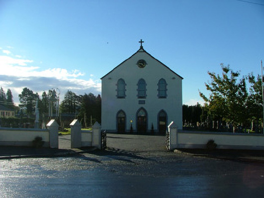 Saint Brigid's Catholic Churchchurch/chapel · 540 yd
 Fulacht fia in RathlihenFulacht fia · 739 yd
 BarrowBarrow, ring-barrow · 917 yd
 Rathlihen Castle (ruins)Castle · 919 yd
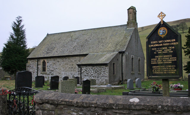 Rathlihen church (in Ruins), Grave YardChurch · 1034 yd
 Lowerton HillMountain / peak · 1.0 mi
 Rathrobiin Castle in RuinsCastle, unclassified · 1.1 mi
 Graveyard in PallasGraveyard · 2.2 mi
 Troy's Island or DerryheeraghMountain / peak · 2.7 mi
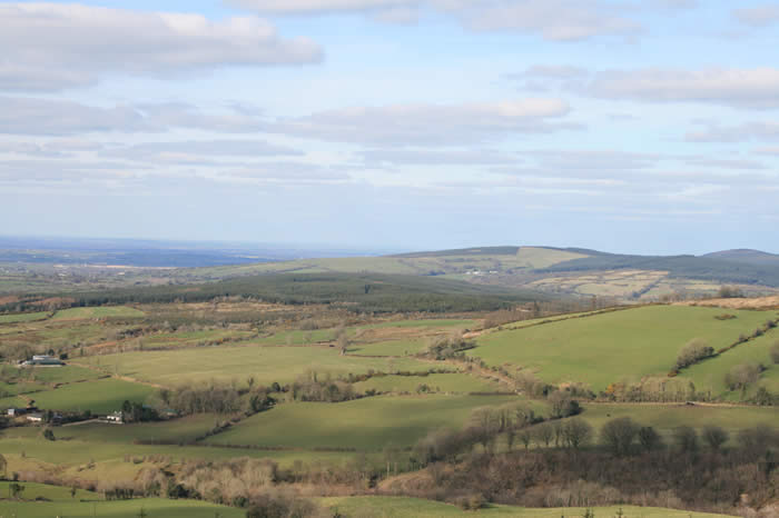 The Offaly WayWalking route · 3.1 mi
 Graveyard in Ballyboy (ballyboy By.)Graveyard · 3.1 mi
 Knockhill GroveWood · 3.4 mi