What is recorded here
Located a short distance to the SE of nearby castle (SMR OF024-036002-) in flat pasture land. Poorly preserved slightly raised circular area (diam. 4m) enclosed by low barely visible bank. No other features visible. 3/1986).
From the National Monuments Service (Archaeological Survey of Ireland) record OF024-036007
The monument record does not grant public access. Check the route and ask the landowner before entering private land.
- What survives
- Recorded monument
Places near here
Photo credits
- National Inventory of Architectural Heritage
- Oliver Dixon, Wikimedia Commons · CC BY-SA 2.0
- MPF, Wikimedia Commons · CC BY 2.5
- Sitomon, Wikimedia Commons · CC BY-SA 2.0
- User:Jgillett, Wikimedia Commons · Public domain
Fulacht fia in RathlihenFulacht fia · 192 ydRathlihen Castle (ruins)Castle · 218 ydCairnCairn, wayside cairn · 775 yd Saint Brigid's Catholic ChurchChurch/chapel · 1403 ydLowerton HillMountain / peak · 1.0 miCappagowlanFarm house · 1.5 miTroy's Island or DerryheeraghMountain / peak · 2.2 miGraveyard in PallasGraveyard · 2.5 miLough Boora Sculpture ParkMuseum · 3.8 miWild Cherry5.3 miEuropean Yew6.2 miCharleville CastleCastle · 6.6 mi
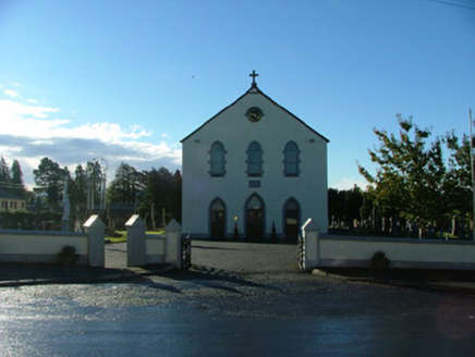 Saint Brigid's Catholic ChurchChurch/chapel · 1403 ydLowerton HillMountain / peak · 1.0 mi
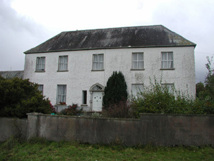 CappagowlanFarm house · 1.5 miTroy's Island or DerryheeraghMountain / peak · 2.2 miGraveyard in PallasGraveyard · 2.5 mi
 Lough Boora Sculpture ParkMuseum · 3.8 mi
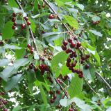 Wild Cherry5.3 mi
 European Yew6.2 mi
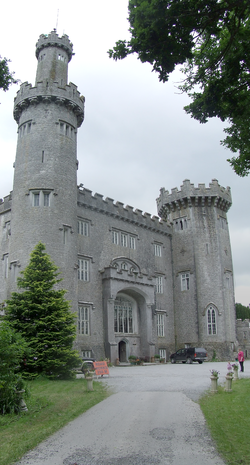 Charleville CastleCastle · 6.6 mi
More archaeology and monuments in County Offaly · All of County Offaly
What do you know about this place?