
What is recorded here
Two barely discernible grass covered spreads of burnt material in flat pasture, along N bank of stream with archaeological complex (OF024-036----) to the N. Probably the site of two levelled fulachta fiadh. Present remains consist of a poorly preserved horseshoe shaped mound (6m N-S by 3m E-W; H 0.5m) of burnt material. The second fulacht fiadh located to the E consists of a low mound (8m WSW-ESE; 4m NNW-SSE; H 0.5m) with shallow depression running N-S across mound.
The above description is derived from the published 'Archaeological Inventory of County Offaly' (Dublin: Stationery Office, 1997). In certain instances the entries have been revised and updated in the light of recent research.
Date of upload: 23 May 2011
This monument is subject to a preservation order made under the National Monuments Acts 1930 to 2014 (PO no. 3/1986).
The monument record does not grant public access. Check the route and ask the landowner before entering private land.
- What survives
- Recorded monument
Places near here
 BarrowBarrow, ring-barrow · 192 yd
 Rathlihen Castle (ruins)Castle · 219 yd
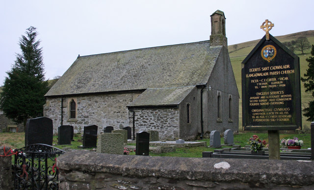 Rathlihen church (in Ruins), Grave YardChurch · 313 yd
 CairnCairn, wayside cairn · 812 yd
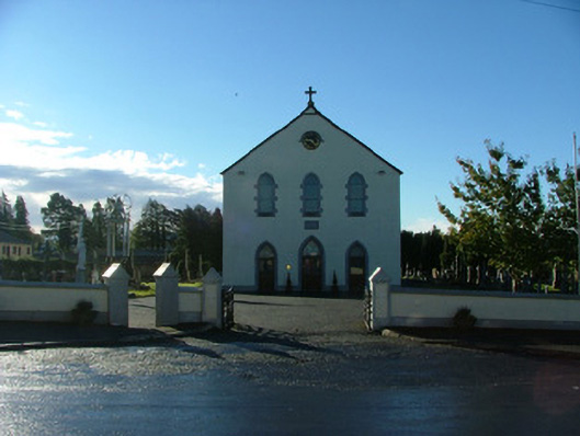 Saint Brigid's Catholic Churchchurch/chapel · 1243 yd
 Lowerton HillMountain / peak · 1677 yd
 Garbally Castle in RuinsCastle, unclassified · 1.2 mi
 Troy's Island or DerryheeraghMountain / peak · 2.3 mi
 Graveyard in PallasGraveyard · 2.4 mi
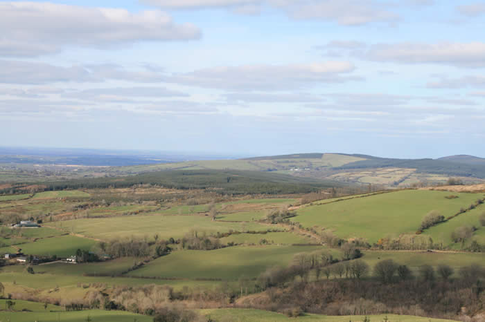 The Offaly WayWalking route · 2.7 mi
 Graveyard in Ballyboy (ballyboy By.)Graveyard · 2.8 mi
 Knockhill GroveWood · 3.2 mi
Other information
Photo: Credit not shown in the picture search · Rights wording not checked; contact us if this picture should be removed