What is recorded here
Just off the crest of a ridge on a N-facing slope, in pastureland. Beyond the N edge of the monument the ground slopes more steeply. Extensive views, with Nicholastown tower house (TS082-043001-) visible c. 3.2km to the E. Well-preserved oval ringfort (diam. 29m N-S; 33.5m E-W) defined by an earthen and stone bank (Wth 1.8m crest, 4.9m base; int. H 1m; ext. H 1.6m). Relatively clean monument, with some scrub on the bank in the S quadrant. Large, mature horse-chestnut growing in the centre of the interior. A field bank, surmounted by hedgerow, runs concentrically with the S quadrant at a distance of 3.7m from the outer bank of the ringfort. In the E quadrant a portion of the interior, running up to the internal face of the bank, has been dug into creating a rectangular depression (6m x 3m; 0.8m D) running E-W. There is a possible entrance in the W quadrant (Wth 1.7m). The bank in the NW sector has been quarried out for a length of 7m. In the NE quadrant a small external quarry runs into the bank which has been removed for a length of c. 8m.
Compiled by: Jean Farrelly
Date of upload: 04 February 2014
This remains an important historical record, but the official description says the monument is no longer visible or has been destroyed. The monument record does not grant public access. Check the route and ask the landowner before entering private land.
- What survives
- No visible remains or recorded as destroyed
Places near here
 Enclosure in Barn Demesne (inishlounaght Par.)Enclosure · 602 yd
 Marlfield Forest Recreation AreaWood · 1142 yd
 CastleCastle, ringwork · 1163 yd
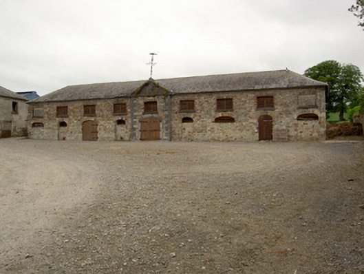 Marlfield Farmfarmyard complex · 1327 yd
 DeerparkWood · 1734 yd
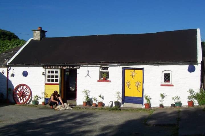 IndicatedEnclosure · 1.1 mi
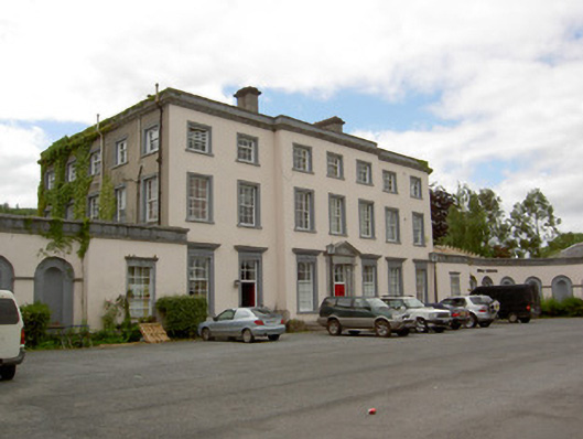 Marlfield Housecountry house · 1.1 mi
 Crusader's GraveHeritage attraction · 1.7 mi
 Castle, Kilmanahan CastleCastle, tower house · 2.0 mi
 Kilmacomma HillMountain / peak · 2.2 mi
 Siege of Clonmelsiege · 2.9 mi
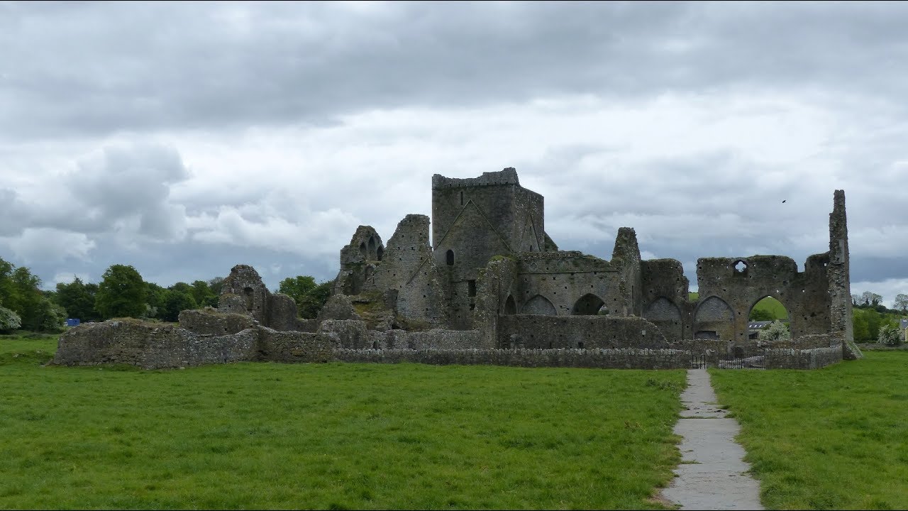 Gairdín Gharraí na LeadhbMemorial · 2.9 mi