What is recorded here
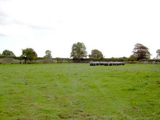
Fairy forts hide in plain sight, wearing pasture and forgetting their own names. That is what Loughsheedan does: a shallow circular scar, barely visible, split by a field wall as if someone drew a line through a dream and called it property. The west-facing slope holds no gate, no ditch, no warning. It waits for footsteps to decide whether the circle is empty or occupied.
On a W-facing slope in pasture. A slightly raised circular area (diam. c. 42m) defined by a very low irregular scarp (H 0.2m). There is no trace of a fosse. The rath is divided into roughly equal portions by a NNW-SSE field wall. The portion to the ENE of this has been levelled. The original entrance is not recognisable.
Compiled by: Patrick F. O'Donovan
Date of upload: 26 August 2011
This remains an important historical record, but the official description says the monument is no longer visible or has been destroyed. The monument record does not grant public access. Check the route and ask the landowner before entering private land.
- What survives
- No visible remains or recorded as destroyed
Places near here
 Church (in Ruins)Church · 741 yd
 IndicatedFairy fort / earthen ringfort · 859 yd
 DoonphilipCastle, motte · 1183 yd
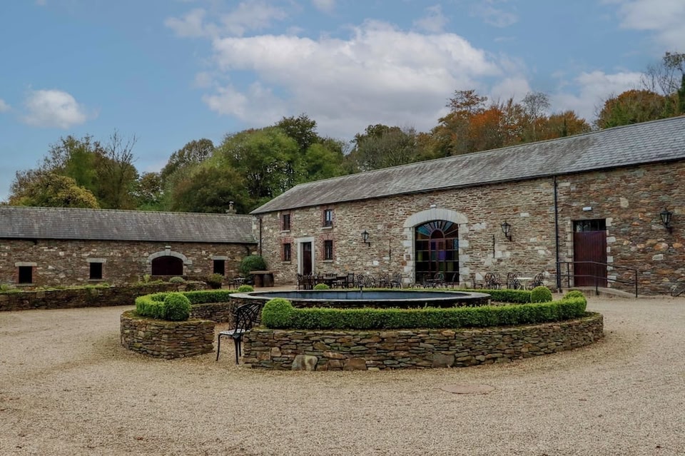
 Park Placewalled garden · 1338 yd
 Enclosure in BallybegEnclosure · 1597 yd
 Not locatedCastle, unclassified · 1667 yd
 National Famine WayWalking route · 3.4 mi
 Goldsmith Birthplace, PallasVisitor information · 3.4 mi
 Newcastle WoodsForest · 3.5 mi
 Target WoodWood · 3.7 mi
 Craft WorkshopHeritage attraction · 4.1 mi
 Guest ServicesVisitor information · 4.1 mi