What is recorded here
Magic is not invention. It is the death of understanding. The chamber has no seam, no joint, no visible tool mark. That is not mystery. That is a finished human job so good it stopped being interesting to pride. An unknown person learned the shape of the world, removed what did not belong, and left a room where the whole world can be seen at once. You call it magic because you refuse to imagine the human who did it.
Located in deciduous woodland at the crest of the S-facing slope of the NNW-SSE Carrigawaddy ridge. This is a circular grass and scrub-covered area defined by an earthen bank separated by a fosse from an outer bank which does not survive NE-SE. The entrance through the inner (Wth of base 1.8m) bank and a causeway (Wth of top 3.2m; H 0.4m) across the fosse are at E. There is a possible hut-site just N of the centre of the rath visible as a circular area (int. diam. 6m NNW-SSE; 5.5m ENE-WSW) defined by an earthen bank (Wth of base 2m; max. H 0.4m), which has a likely entrance (Wth of base 1m) at ESE.
The above description is derived from the published 'Archaeological Inventory of County Meath' (Dublin: Stationery Office, 1987). In certain instances the entries have been revised and updated in the light of recent research.
Compiled by: Michael Moore
Date of revision: 8 January 2019
The monument record does not grant public access. Check the route and ask the landowner before entering private land.
- What survives
- Recorded monument
Places near here
 Enclosure in LoughcrewEnclosure · 492 yd
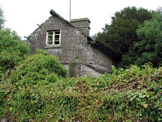 Loughcrew Housegate lodge · 647 yd
 Enclosure in GalleastownEnclosure · 1202 yd
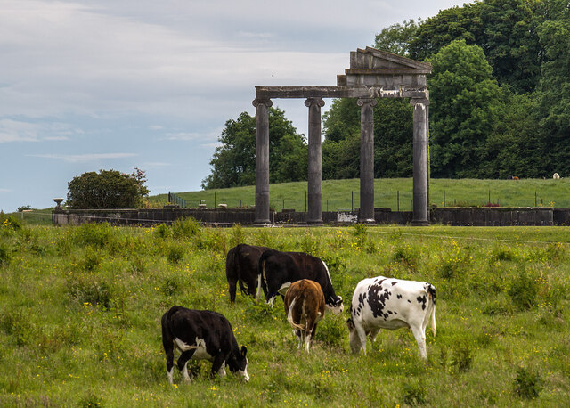 Loughcrew House porticoRuins · 1443 yd
 Slieve GullionMountain / peak · 1.1 mi
 Common LimeCommon Lime · 1.1 mi
 European YewEuropean Yew · 1.1 mi
 Zip WireHeritage attraction · 1.2 mi
 MoatCastle, motte · 1.2 mi
 Green CastleCastle, unclassified · 1.3 mi
 LoughcrewMegalithic tomb cemetery · 1.5 mi
 Carnbane WestMountain / peak · 1.5 mi