What is recorded here
Nobody knows which stones or chambers belong to the lost site because the name points to more than one earthwork near Lot. That uncertainty is not a flaw; it is the shape of the story. An unknown house, bridge, road or boundary may still direct you to the exact place.
In the 1930s, Capt. D. B. O'Connell recorded that a farmhouse, near the road junction to 'a place called Lot', was said to be built on the site of a 'liss' (KAS). Nearby conjoined raths (KE094-038----, KE094-038005-) were also are mentioned by O'Connell (KAS). This possible rath has not been precisely located.
The above description is derived from the published 'Archaeological Inventory of County Kerry. Volume I: South-West Kerry' (Dublin: Stationery Office, 2009). In certain instances the entries have been revised and updated in the light of recent research.
Date of upload: 30 May 2011
The monument record does not grant public access. Check the route and ask the landowner before entering private land.
- What survives
- Recorded monument
Places near here
 Kilgarvan Motor MuseumMuseum · 1651 yd
 CaveMan-made underground passage · 1694 yd
 Battle of Callannbattle · 1.1 mi
 Bird HillMountain / peak · 1.5 mi
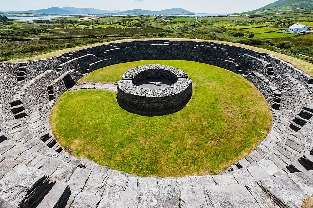 Cahergal Br.Bridge · 1.7 mi
 Church (in Ruins)Church · 1.7 mi
 Enclosure in BarnastookaEnclosure · 1.8 mi
 Great Southern & Western RailwayMemorial · 1.8 mi
 Carran Far North TopMountain / peak · 1.9 mi
 Castle (Site of)Castle, unclassified · 2.8 mi
 European YewEuropean Yew · 2.8 mi
 Hidden Valley Pet FarmHeritage attraction · 3.9 mi