What is recorded here
Half-buried in wet Limerick lowland, the Lodge ringfort still marks a circular platform thirty-eight metres wide, its earth bank rising nearly two metres above the field. The largest gap faces northeast, perhaps an entrance, while ploughs and patience have since sanded the rest into a shallow breath of a shape. It is the kind of place that stops being a fort the moment you stop believing it is one.
Earthwork described in 1942-3 as following; 'This consists of a circular platform on the edge of which there is a slight bank. Outside there is a fosse, but this occurs only where it was necessary to cut through little hillocks in the field, so that it appears only on the N.W., N.E. and S.E. sides. The edge and sides of the platform have been broken down in three places. The largest of these breaks is on the N.E. side, and this may have been the entrance. There is no fosse just opposite it. The greatest height of the bank over the field is 6' [1.8m] and the overall diameter is 125' [38m]. Situated in wet lowland' (O'Kelly 1942-3, 239). Cropmark of levelled monument barely visible today on Digital Globe aerial photographs.
Compiled by: Caimin O'Brien
Date of upload: 6 March 2020
The monument record does not grant public access. Check the route and ask the landowner before entering private land.
- What survives
- Recorded monument
Places near here
 Enclosure in LodgeEnclosure · 285 yd
 BarrowBarrow, unclassified · 774 yd
 CashlanCastle, unclassified · 1.0 mi
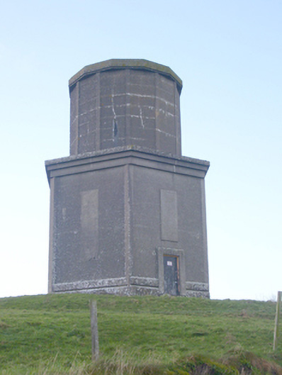 water towerwater tower · 1.2 mi
 Ahnageeragh Bridgebridge · 1.2 mi
 CastleCastle, motte · 1.6 mi
 Kilteely HillMountain / peak · 1.9 mi
 Flat cemetery in Knockainy WestFlat cemetery · 2.4 mi
 St. Patrick's WellSpring · 2.4 mi
 St Patrick's WellSpring · 4.3 mi
 KnockseefinMountain / peak · 5.1 mi
 Ballinvreena LoopVisitor information · 7.1 mi