
What is recorded here
In improved pasture 180m W of a road that marks the townland boundary with Garryncahera. Not depicted on historic OSi maps. Monument is visible as a roughly circular-shaped area defined by trees from SW-N-SE on aerial photograph (ASIAP (332) 26, 27) taken 05/10/2002. Visible as a circular-shaped area (diam. c. 19m) defined by trees from SW-N-SE with a circular-shaped cropmark (diam. c. 6m) in S quadrant of interior on OSi orthophoto taken between 2005-12 and on Google Earth orthoimage dated 20/09/2020. Circular-shaped cropmark in S quadrant could be the remains of a hut site. Uncertain about antiquity of earthwork could be a tree-ring of post-1700 date.
See attached Google Earth orthoimage and ASIAP aerial photographs.
Compiled by: Martin Fitzpatrick
Date of upload: 20 April 2021
The monument record does not grant public access. Check the route and ask the landowner before entering private land.
- What survives
- Recorded monument
Places near here
 BarrowBarrow, unclassified · 737 yd
 Enclosure in BallinloughEnclosure · 1419 yd
 CashlanCastle, unclassified · 1584 yd
 Ahnageeragh Bridgebridge · 1.3 mi
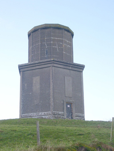 water towerwater tower · 1.3 mi
 CastleCastle, motte · 1.6 mi
 Kilteely HillMountain / peak · 1.9 mi
 St. Patrick's WellSpring · 2.4 mi
 Flat cemetery in Knockainy WestFlat cemetery · 2.5 mi
 St Patrick's WellSpring · 4.3 mi
 KnockseefinMountain / peak · 5.1 mi
 Ballinvreena LoopVisitor information · 7.1 mi
Other information
Photo: Credit not shown in the picture search · Rights wording not checked; contact us if this picture should be removed