What is recorded here
That is the end of the available evidence for the named place.
In pasture, on NW-facing slope. Circular area (34m ENE-WSW; c. 33m NNW-SSE) enclosed by earthen bank (int. H 2.1m) NE->NW, with external fosse; second bank (H 2.2m) survives NE->SSW, with outer fosse (D 1m). Line of both banks visible as slight rise NW->NE.
The above description is derived from the published 'Archaeological Inventory of County Cork. Volume 1: West Cork' (Dublin: Stationery Office, 1992). In certain instances the entries have been revised and updated in the light of recent research.
Date of upload/revision: 14 January 2009
The monument record does not grant public access. Check the route and ask the landowner before entering private land.
- What survives
- Recorded monument
Places near here
 Sea Courtcountry house · 779 yd
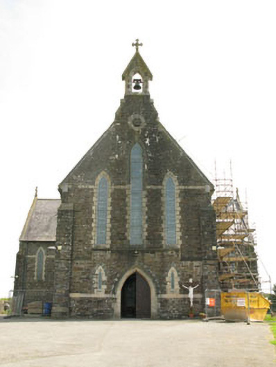 St Mary's Roman Catholic Churchchurch/chapel · 855 yd
 Kill Bur. Gd. (Children) (Disused)Burial ground · 1036 yd
 CaveMan-made underground passage · 1184 yd
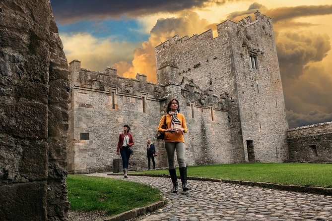 Rock Castle (in Ruins)Castle, tower house · 1464 yd
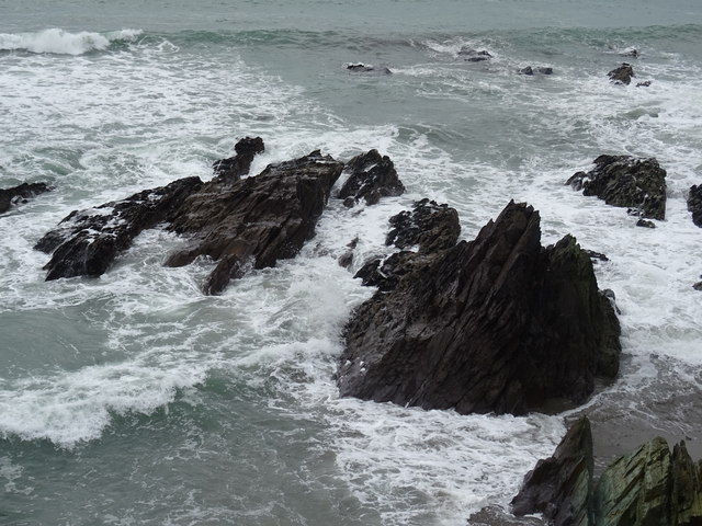 Dunworly BeachBeach / strand · 1.3 mi
 Cave DunworleyViewpoint · 1.3 mi
 Courtmacsherry Bay ViewViewpoint · 1.7 mi
 War MemorialMemorial · 1.7 mi
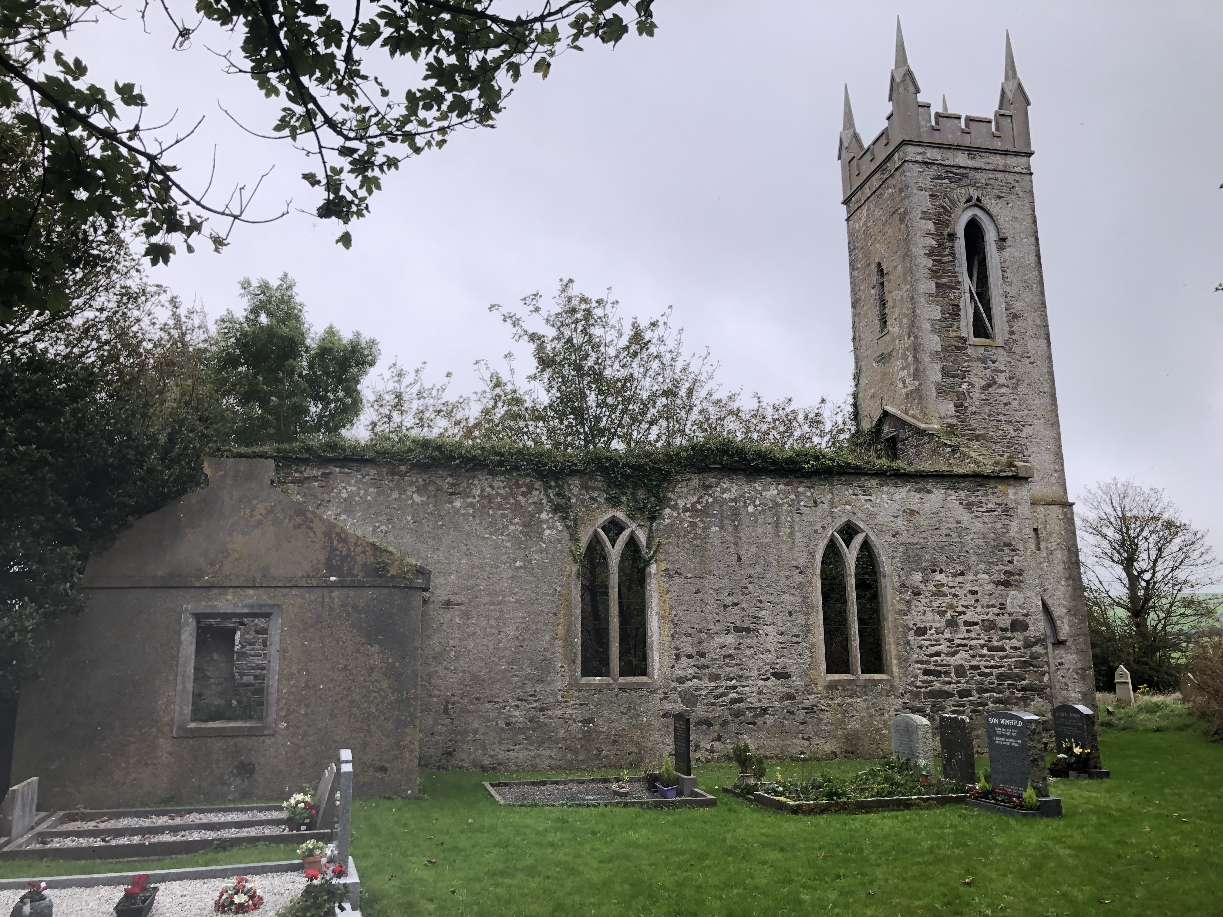 Lislee Court (Site of)Castle, unclassified · 1.9 mi
 Dunworly PointHeadland · 2.1 mi
 HDS walk Coolim CliffsHeritage attraction · 2.3 mi