What is recorded here
No visible wall or roof remains, only a shallow dip and a faint edge in the grass. That is enough to mark the place as a made circle, not a random hollow. The fort has lost much of its shape, but it has not stopped being a fort. It waits inside the land like a removed ring, still holding the memory of its own boundary.
In pasture, on gentle NE-facing slope. Circular area (31m N-S; 32m E-W) defined by scarped edge (H 0.8m; Wth 7m) WNW->S, with external fosse (D 0.3m; Wth 1.5m) N->NE. Enclosing element partially levelled S->WNW when field boundary, which truncated enclosure, was removed c. 1980. Interior dips down towards centre and is under pasture.
Compiled by: Denis Power
Date of upload: 26 August 2011
The monument record does not grant public access. Check the route and ask the landowner before entering private land.
- What survives
- Recorded monument
Places near here
 Burial Gd. for ChildrenChildren's burial ground · 1321 yd
 Lismoylan - HachuredFairy fort / earthen ringfort · 1605 yd
 Lissamota CastleCastle · 1.1 mi
 Ballynahaha Housegates/railings/walls · 1.1 mi
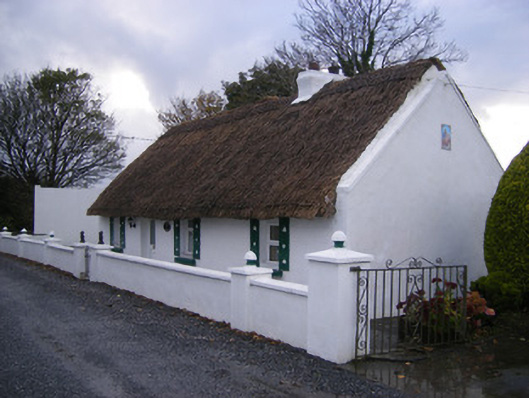 Leprechaun Cottagehouse · 1.2 mi
 Flat cemetery in Kiltenan SouthFlat cemetery · 1.5 mi
 Castle (in ruins)Castle, tower house · 1.7 mi
 Famine stoneMemorial · 2.0 mi
 Kinnoor WellSpring · 2.2 mi
 KnockfeerinaMountain / peak · 2.3 mi
 Dysert AenghusaHeritage attraction · 3.9 mi
 GinkgoGinkgo · 4.5 mi