What is recorded here
Forty-two feet of excluded life, a round room without doors, is all that remains of the fort in Lissavaddy. Its thin earth bank and shallow ditch have surrendered one side to a field boundary, erasing the entrance and inviting every kind of fantasy. The fairies may have taken the place when people stopped seeing it as a home. More likely, ordinary hands built a round stronghold, lived there, left it, and let the pasture swallow the memory.
In level pasture. Depicted as a circular enclosure with the designation 'Fort' on the 1837 ed. of the OS 6-inch map. A raised circular area (diam. 42.1) enclosed by a low bank of earth and stone (Wth 3.2m; H 0.45m max.) with a shallow external fosse (Wth 3.7m; D 0.7m). From N-E-SSW the outer face of the bank and the fosse have been modified and incorporated into a field boundary. The original entrance is not recognisable.
Compiled by: Patrick F. O'Donovan
Date of upload: 26 August 2011
The monument record does not grant public access. Check the route and ask the landowner before entering private land.
- What survives
- Recorded monument
Places near here
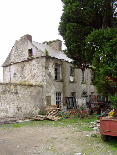 Lissavaddy Househouse · 133 yd
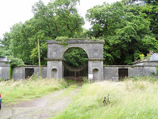 Carrigglas Manorgates/railings/walls · 382 yd
 Enclosure in Cooleeny,whiterockEnclosure · 1465 yd
 CastleCastle, Anglo-Norman masonry castle · 1.3 mi
 BarrowBarrow, mound barrow · 1.3 mi
 Bawn in LissardowlanBawn · 1.3 mi
 Saint Mel's CathedralCathedral · 2.6 mi
 First World War MemorialMemorial · 2.8 mi
 Graveyard in Curry (ardagh By., Coolamber Ed)Graveyard · 4.8 mi
 Pedunculate OakPedunculate Oak · 5.2 mi
 Common LimeCommon Lime · 5.2 mi
 Granard MotteMotte-and-bailey castle remains · 9.9 mi