What is recorded here
Fairy fort in Lissanacody, County Galway: a shallow earthen ring on a sun-warmed slope, partly cut by a road and partly ploughed away. What remains is a ghost of a boundary, yet large enough to have held a house, a herd or a family's pride. The land has taken back most of it, leaving only a hint of the circle for those who still look.
On a S-facing slope in grassland. When inspected in June 1984 this very poorly preserved subcircular rath (36m NE-SW; 34m NW-SE) was defined by a bank. A road cut across it from NW to SE. On re-inspection in October 2012 the bank was only visible to the NE of the road; to the SW it had been recently ploughed out.
Compiled by: Galway Archaeological Survey, UCG
Date of upload: 15 April 2019
The monument record does not grant public access. Check the route and ask the landowner before entering private land.
- What survives
- Recorded monument
Places near here
 Wood View Househouse · 510 yd
 IndicatedFairy fort / earthen ringfort · 1322 yd
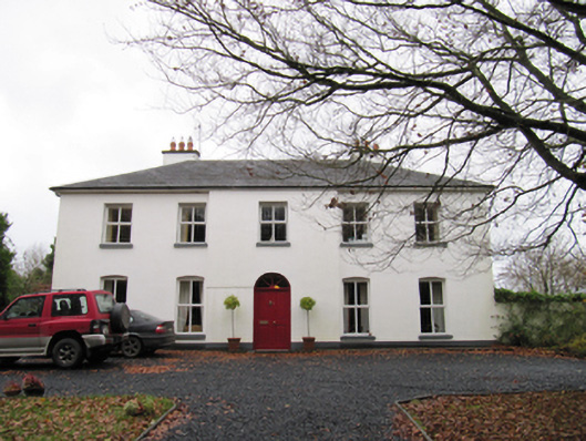 Woodfield Househouse · 1396 yd
 Redmond HillMountain / peak · 1.1 mi
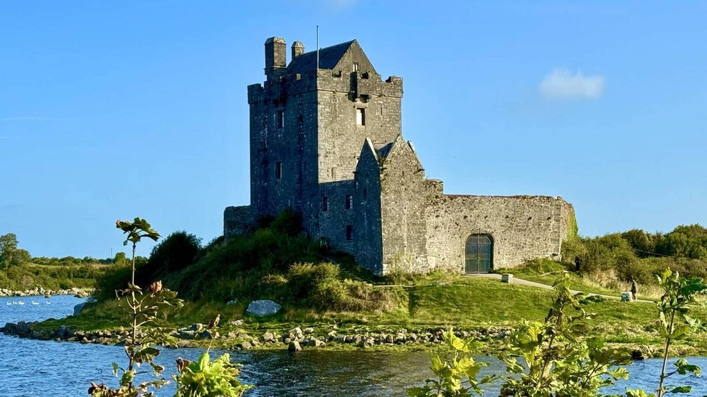 Killenehy FortArchaeological place · 1.2 mi
 Silver FirSilver Fir · 1.9 mi
 Ballymore CastleCastle, tower house · 2.0 mi
 Lismore CastleCastle, tower house · 2.8 mi
 European ashEuropean ash · 3.0 mi
 Killeen's IslandIsland · 3.8 mi
 MeelickVisitor information · 3.8 mi
 Friars IslandIsland · 3.9 mi