What is recorded here
Fairy fort in Lissamota, County Limerick: a 44-metre earthen ring on a gentle south-facing pasture slope, its bank partly absorbed into field boundaries and scarped away to the south. Stones dumped along the western top, interior dipping east under grass. People may have lived there before becoming a boundary, then a fairy tale, then a faint line in the field.
In undulating pasture, on gentle S-facing slope. Circular area (43.5m N-S; 44.5m E-W) enclosed by earthen bank (int. H 0.3m; ext. H 0.2m), incorporated into field boundary system WNW->SE (int. H 0.8m; ext. H 1.65m), and reduced to scarped edge SE->S (H 0.2m; Wth 4m). Stones have been dumped along top of bank WNW->NNE. Interior, under pasture, slopes down to E.
Compiled by: Denis Power
Date of upload: 26 August 2011
The monument record does not grant public access. Check the route and ask the landowner before entering private land.
- What survives
- Recorded monument
Places near here
 Burial Gd. for ChildrenChildren's burial ground · 486 yd
 Lissamota CastleCastle · 797 yd
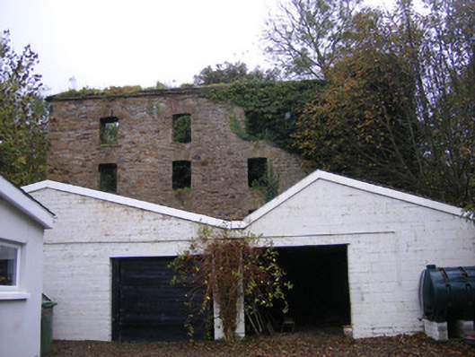 mill (water)mill (water) · 874 yd
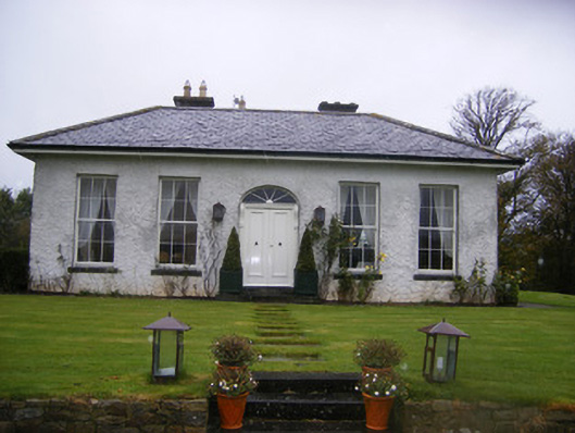 Fort William Housecountry house · 1001 yd
 Castle (in ruins)Castle, tower house · 1221 yd
 Burial GroundBurial ground · 1506 yd
 Famine stoneMemorial · 1.6 mi
 KnockfeerinaMountain / peak · 2.1 mi
 Flat cemetery in Kiltenan SouthFlat cemetery · 2.3 mi
 Kinnoor WellSpring · 3.0 mi
 LaghtpatrickSpring · 4.0 mi
 European ashEuropean ash · 4.6 mi