What is recorded here
Fairy forts are not for entry, only for seeing, which is why so much has been lost. The ring in Lissamota may have been a home, a boundary marker, or a warning about what lives beneath quiet ground. Its banks have been levelled, but the shape is still written in the slope. To walk past it is to accept that some rooms refuse to be owned.
In pasture, on gentle E-facing slope, below top of low rise. Monument, depicted as circular enclosure (diam. c. 20m) on 1841 OS 6-inch map, is shown only as curved section of bank SE->NW with external fosse SE->SW (C 25m) on 1923 OS 6-inch map. It is now largely levelled though scarped edge (H 0.5m; Wth 5.2m) can be traced SE->SSW. Otherwise site level and covered by grass.
Compiled by: Denis Power
Date of upload: 26 August 2011
The monument record does not grant public access. Check the route and ask the landowner before entering private land.
- What survives
- Recorded monument
Places near here
 Lissamota CastleCastle · 344 yd
 Burial Gd. for ChildrenChildren's burial ground · 825 yd
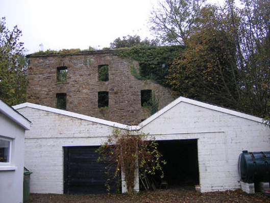 mill (water)mill (water) · 1137 yd
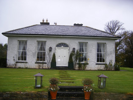 Fort William Housecountry house · 1206 yd
 Burial GroundBurial ground · 1390 yd
 Castle (in ruins)Castle, tower house · 1517 yd
 Famine stoneMemorial · 1.9 mi
 Flat cemetery in Kiltenan SouthFlat cemetery · 2.1 mi
 KnockfeerinaMountain / peak · 2.4 mi
 Kinnoor WellSpring · 3.1 mi
 LaghtpatrickSpring · 3.9 mi
 European ashEuropean ash · 4.5 mi