What is recorded here
Situated on a slight rise of ground overlooking wet marshy land to the N and fairly well drained pasture land to the S. Large ringfort with impressive defensive features including a high bank and wide deep fosse. Present remains consist of a roughly circular area (diam. 44m N-S; 41.5m E-W) enclosed by a large earth & stone bank, deep wide fosse and external bank which now forms a field boundary. From ESE-SE-SSE the outer bank has been narrowed in relatively modern times. It has a wide modern gap on the S and another in the WSW and another on the NE. A gap (Top Wth 5.5m; base Wth 1.8m) in the inner on the SE may perhaps represent the entrance but there is no evidence or gap in the outer bank there. The inner bank is much higher outside than it is inside. Many stones are visible in it but there is no visible evidence of masonry. These are several disturbance gaps in the inner bank. The interior slopes from N-S, with evidence of post-1700 cultivation ridges running E-W across the site.
See attached profile of monument surveyed and drawn by the ASI.
Compiled by: Frank Coyne & Caimin O'Brien
Date of upload: 16 November 2016
The monument record does not grant public access. Check the route and ask the landowner before entering private land.
- What survives
- Recorded monument
Places near here
 CastleCastle, motte · 410 yd
 Castletown Houseworker's house · 592 yd
 HacuredFairy fort / earthen ringfort · 740 yd
 IndicatedFairy fort / earthen ringfort · 931 yd
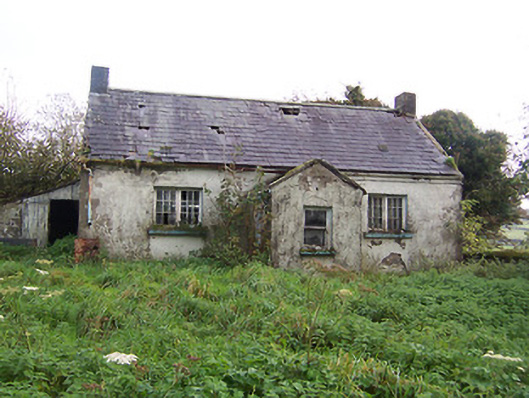 Tullystown National Schoolschool · 1025 yd
 Site of CastleCastle, unclassified · 1390 yd
 MullaghmeenMountain / peak · 1.8 mi
 Mullaghmeen White WalkWalking route · 2.0 mi
 Fox CovertForest · 2.0 mi
 Mullaghmeen Red WalkWalking route · 2.2 mi
 Rock of CurryCliff · 2.3 mi
 Muldarry PointHeadland · 2.4 mi