What is recorded here
Towards base of SW-facing slope of NW-SE running ridge. Surrounded by pasture to NW, NE and SE. Farmyard and sheds to S-SW and large sileage pit to W. Ringfort in poor condition, some scrub around edge and in interior. Rubbish dumped up against the external face of the bank in the S quadrant. Sileage wrapped bales are stored immediately SW of monument. Roughly circular area (diam. 33m E-W; N-S not obtainable due to dense scrub in S quadrant) Bank reduced to badly eroded scarp (H 0.9m) in SW quadrant. Farm road runs NE-SW along NW side, bank in this sector is largely levelled, some dumping and a lot of scrub around edge. Field bank runs NW-SE along NE quadrant with field drain to SW. Similarly a field bank defines the SE quadrant. Gap in bank in E quadrant is a broken through field bank with a gate temporarily blocking the gap.
Compiled by: Jean Farrelly
Date of upload: 26 August 2011
The monument record does not grant public access. Check the route and ask the landowner before entering private land.
- What survives
- Recorded monument
Places near here
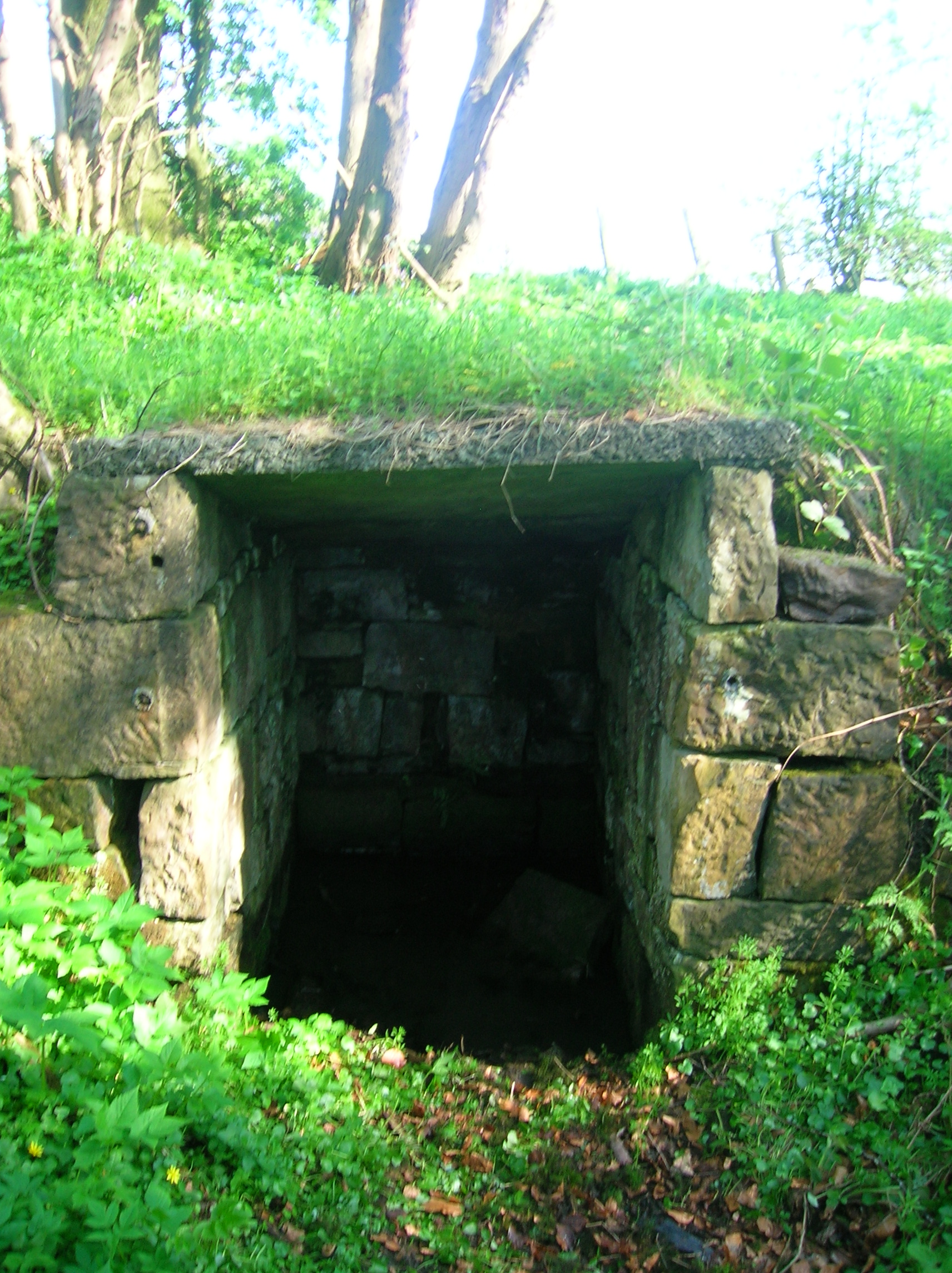 Ladys WellHoly well · 1347 yd
 Church (in ruins)Church · 1637 yd
 Milltown Househouse · 1644 yd
 Enclosure in Kilmore (lisronagh Par.)Enclosure · 1.1 mi
 Ballyboe FortCastle, motte and bailey · 1.3 mi
 CastleCastle, motte · 1.5 mi
 CarrickbrockMountain / peak · 1.8 mi
 Persian WalnutPersian Walnut · 2.2 mi
 CarrigdotiaMountain / peak · 2.3 mi
 Common LimeCommon Lime · 2.6 mi
 East GateMemorial · 4.8 mi
 RetrospectMemorial · 4.9 mi