What is recorded here
Mortons and Cavan field workers recorded the ruined ring at Lisnatinny before road building and farming traffic crossed it. A circular bank, wide water-filled ditch and possible NE entrance still mark the place, although a modern laneway has cut through part of the circuit. The fort may have been a defended farm, a boundary marker or a small ceremonial centre, but its shape and position suggest people valued the ground enough to dig, carry earth and return to it repeatedly.
Raised circular area (int. diam. c. 35m) enclosed by a substantial earthen bank and a wide, deep, partly waterlogged fosse, poorly preserved from NNW-N-NE and infilled and replaced by a modern laneway from W-NNW. Break in bank at NE may represent original entrance.
The above description is derived from the published 'Archaeological Inventory of County Cavan' (Dublin: Stationery Office, 1995). In certain instances the entries have been revised and updated in the light of recent research.
Date of upload/revision: 22 December 2008
The monument record does not grant public access. Check the route and ask the landowner before entering private land.
- What survives
- Recorded monument
Places near here
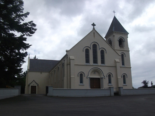 Our Lady of Lourdes Roman Catholic Churchchurch/chapel · 578 yd
 IdicatedCastle, unclassified · 608 yd
 Enclosure in Carnagh UpperEnclosure · 1546 yd
 Callanagh FortFairy fort / earthen ringfort · 1.2 mi
 ToomeMountain / peak · 1.7 mi
 CartronfreeMountain / peak · 1.8 mi
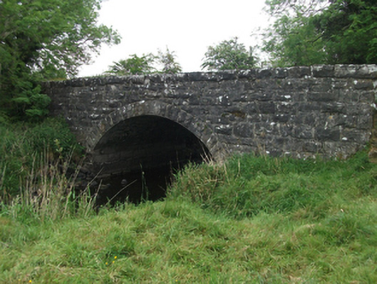 Kilsaran Bridgebridge · 2.0 mi
 Moynagh Upper ForestForest · 2.7 mi
 Carrick RockWood · 3.5 mi
 Sporting RockIslet · 4.2 mi
 Scrabby IslandIslet · 4.3 mi
 Cloone Ho.Castle, unclassified · 4.5 mi