What is recorded here
Thirty-eight metres of compacted earth still mark the Lisnaglea fort, though farm walls have swallowed its eastern entrance and boundary lines have cut through its ancient defence. The ring remains a closed circle of human intention, waiting for the lost gate to be imagined rather than measured.
Raised circular area (int. diam. 38.3m) enclosed by a bank and fosse which has been removed at NE and incorporated into the field boundary from SE-W-NNW. Original entrance not recognisable.
The above description is derived from the published 'Archaeological Inventory of County Cavan' (Dublin: Stationery Office, 1995). In certain instances the entries have been revised and updated in the light of recent research.
Date of upload/revision: 22 December 2008
This remains an important historical record, but the official description says the monument is no longer visible or has been destroyed. The monument record does not grant public access. Check the route and ask the landowner before entering private land.
- What survives
- No visible remains or recorded as destroyed
Places near here
 Fairy fort / stone ringfort in KillymeehanFairy fort / stone ringfort · 894 yd
 Killymeehan ForestForest · 1033 yd
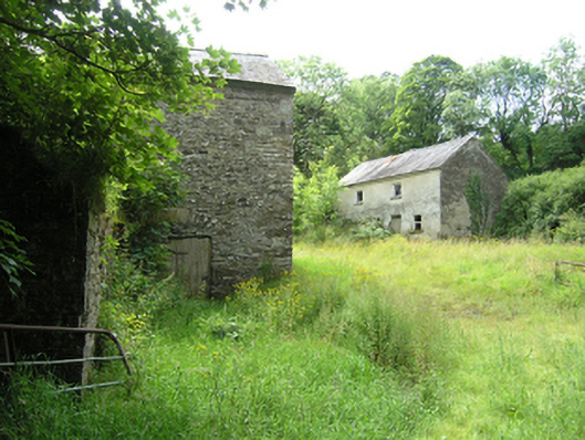 mill (water), miller's housemill (water), miller's house · 1316 yd
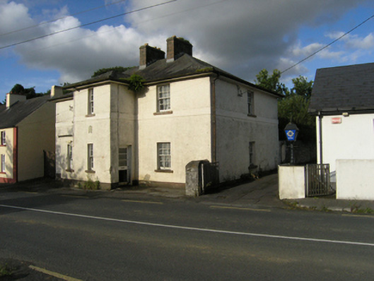 Stradone Garda Síochána Stationgarda station/constabulary barracks · 1658 yd
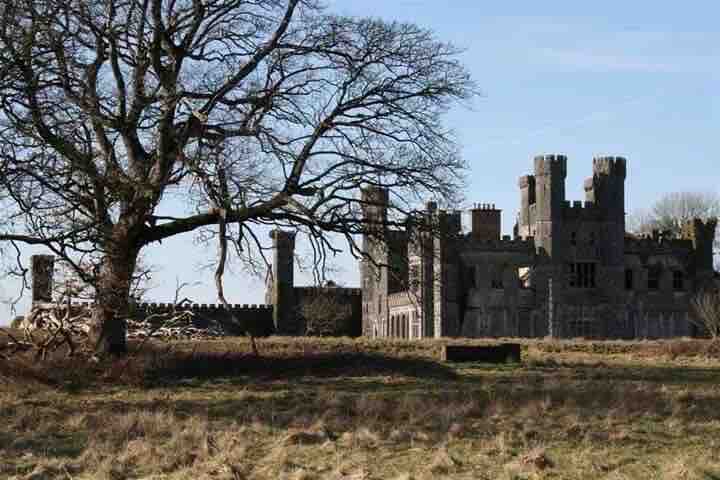 RavenswoodForest · 1680 yd
 To The Memory of P.J. DukeMemorial · 1.0 mi
 Church (Site of)Church · 1.0 mi
 Ancient Order of Hibernians MemorialMemorial · 1.3 mi
 CliffernaMountain / peak · 2.0 mi
 AghadreenaghMountain / peak · 2.5 mi
 Raven's RockNamed rock · 3.0 mi
 Site of Old CastleCastle, unclassified · 6.2 mi