What is recorded here
Lisnageeragh in County Longford held a circular earthen fort at the north edge of a ridge, visible only on the 1837 Ordnance Survey map and lost to ground level. Called a fairy fort in local tradition, the hidden rath may have been a defensive stronghold, a boundary marker or a settlement abandoned before human memory. Its disappearance suggests the land itself reclaimed what people built, leaving behind a shape known only through survey lines and story.
At the N edge of a ridge of high ground. Depicted as a circular enclosure with the designation 'Fort' on the 1837 ed. of the OS 6-inch map. Not visible at ground level.
Compiled by: Patrick F. O'Donovan
Date of upload: 16 January 2012
The monument record does not grant public access. Check the route and ask the landowner before entering private land.
- What survives
- Recorded monument
Places near here
 RuinsCastle, unclassified · 917 yd
 BarrowBarrow, embanked barrow · 1076 yd
 Moat & FortCastle, motte and bailey · 1312 yd
 Enclosure in CartronreaghEnclosure · 1351 yd
 Church in FirmountChurch · 1448 yd
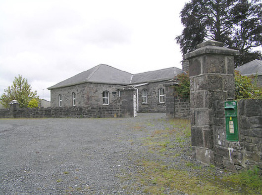 Lissard Housegates/railings/walls · 1456 yd
 Edgeworthstown BypassMemorial · 1.9 mi
 Ballinalee Forest WalkForest · 4.2 mi
 Bully's Acregraveyard/cemetery, unknown · 4.6 mi
 Granard MotteMotte-and-bailey castle remains · 5.7 mi
 1798 Monumentmonument · 5.8 mi
 CartronfreeMountain / peak · 8.7 mi