What is recorded here
None. The supplied facts contain no visible reality, background or purpose, and the request bans the visibility check that would reveal whether those facts are true.
Located just off the crest of the NW-facing spine of a NW-SE drumlin ridge. An earthwork at this location in Lisnadarragh is represented on McCrea’s Map of County Monaghan (1793) and on the 1834 and 1907 editions of the OS 6-inch map. This is a circular grass-covered area (diam. 28.4m NNW-SSE; 26m ENE-WSW) defined by a slight earthen bank (Wth of base 3-3.6m; int. H 0.2m; ext. H 0.3m at S to 1.6m at N) with some bushes, that is incorporated into a stone-faced scarp and field bank (at ENE: H 1.5n) NNW-SE, and is reduced to a scarp (Wth 8m; H 3m) S-NW. There is a slightly raised rectangular platform (dims of top 8.2m N-S; 6.8m E-W; H 0.5m) inside the perimeter at N, which may be natural. An entrance gap (Wth of 1.3m) at NE might be the original entrance. It has become more overgrown since 1967 (Bing 2013).
The above description is derived from the published 'Archaeological Inventory of County Monaghan' (Dublin: Stationery Office, 1986). In certain instances the entries have been revised and updated in the light of recent research.
Revised by: Michael Moore
Date of revision: 31 January 2018
The monument record does not grant public access. Check the route and ask the landowner before entering private land.
- What survives
- Recorded monument
Places near here
 farmyard complexfarmyard complex · 250 yd
 Wedge tomb in LisnadarraghWedge tomb · 699 yd
 Burial ground in Shankill (cremorne By)Burial ground · 914 yd
 CarrickcreenyMountain / peak · 935 yd
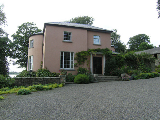 Lough Sillan Houserectory/glebe/vicarage/curate's house · 1673 yd
 Gull IslandIslet · 1.0 mi
 Bush IslandIslet · 1.1 mi
 Sillan LakeshoreWood · 1.1 mi
 Bawn in LisdrumskeaBawn · 1.4 mi
 Senator Billy Fox 1939 - 1974Memorial · 2.2 mi
 RaferaghMountain / peak · 2.9 mi
 Kinnea Corlattylannan ForestForest · 3.2 mi