What is recorded here
Lisnacark holds a faded oval ringfort where a field boundary now cuts through the middle and ploughs have rubbed the southeast bank flat. The remaining earth still marks a wide enclosed space, perhaps entered from the southeast, large enough for households, herds or argument rather than a single fairy kitchen. People may have lived there before forgetting the name, leaving only a slight rise for others to misjudge.
Raised almost oval area (int. dims. 43.5m NE-SW; 55m NW-SE) enclosed by very slight traces of an earthen bank running from SW-W-N. The site is divided into two approximately equal portions by a field boundary running NW-SE the area SE of which has been levelled. Nonetheless its outline may still be traced. Earlier reports (OPW 1969; 1970) suggested that the original entrance may have been at SE.
The above description is derived from the published 'Archaeological Inventory of County Cavan' (Dublin: Stationery Office, 1995). In certain instances the entries have been revised and updated in the light of recent research.
Date of upload/revision: 22 December 2008
The monument record does not grant public access. Check the route and ask the landowner before entering private land.
- What survives
- Recorded monument
Places near here
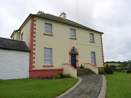 Castleterra Rectoryrectory/glebe/vicarage/curate's house · 451 yd
 IndicatedFairy fort / earthen ringfort · 940 yd
 Enclosure in OuleyEnclosure · 1251 yd
 CorgarveMountain / peak · 1337 yd
 Grave Yard HachuredChurch · 1669 yd
 Castleterra ForestForest · 1675 yd
 Garden IsleIslet · 1.1 mi
 Ballyhaise Ho.Castle, unclassified · 1.2 mi
 Agroforestry plotForest · 1.3 mi
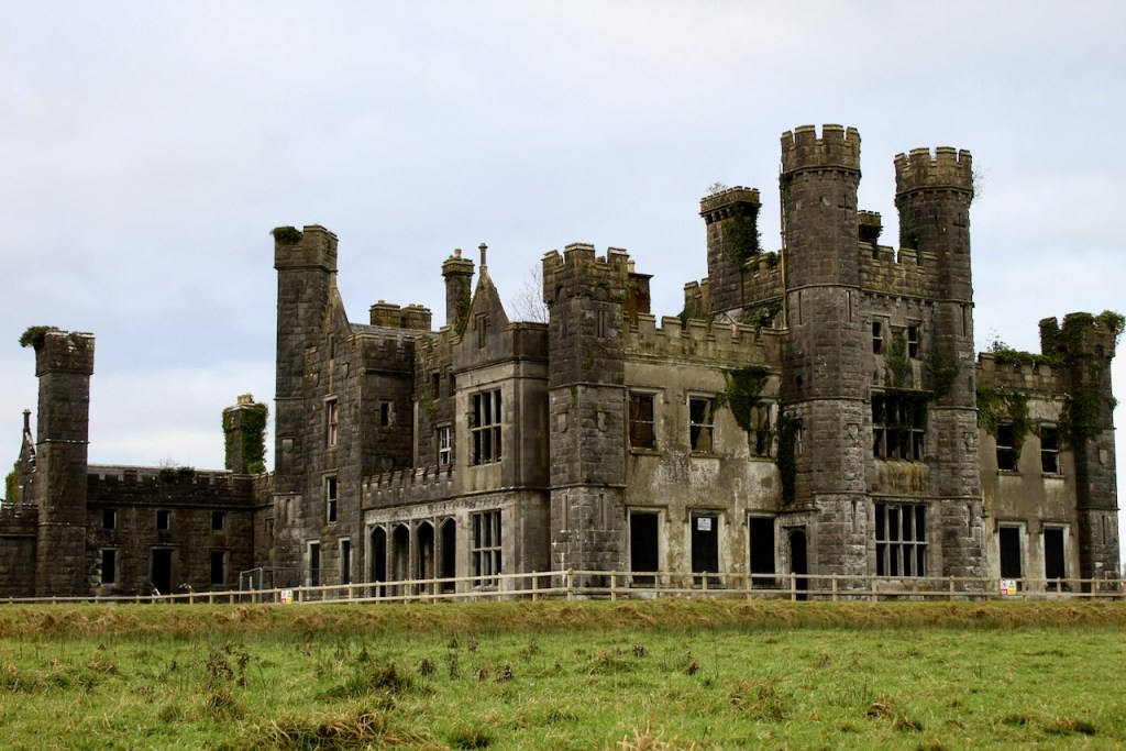 CastleCastle, unclassified · 1.5 mi
 ArdamaghMountain / peak · 1.8 mi
 Giants GraveArchaeological place · 3.6 mi